Distance to Chrysotile, Arizona

Calculating Your Route
Just a moment while we process your request...
Location Information
-
Full AddressChrysotile, AZ 85501
-
Coordinates33.7403286, -110.5667737
-
LocationArizona , US
-
TimezoneAmerica/Phoenix
-
Current Local Time12:21:22 AM America/PhoenixSaturday, May 31, 2025
-
Page Views0


Nearby Places
Found 10 places within 50 miles

Seneca
3.3 mi
5.3 km
Seneca, AZ 85550
Get directions

Cibecue Creek
10.7 mi
17.2 km
Cibecue Creek, Arizona
Get directions
Rock House Tank
11.1 mi
17.9 km
Rock House Tank, Arizona
Get directions
Mcmillianville
14.2 mi
22.9 km
Mcmillianville, AZ 85501
Get directions
Dagger
14.5 mi
23.3 km
Dagger, AZ 85501
Get directions

Cibecue
21.5 mi
34.6 km
Cibecue, AZ 85911
Get directions
Copper Hill
24.2 mi
38.9 km
Copper Hill, AZ 85501
Get directions
Cedar Creek
25.0 mi
40.2 km
Cedar Creek, AZ 85941
Get directions
Burch
25.5 mi
41.0 km
Burch, AZ 85539
Get directions
Dehorn
26.7 mi
43.0 km
Dehorn, AZ
Get directions
Location Links
Local Weather
Weather Information
Coming soon!
Location Map
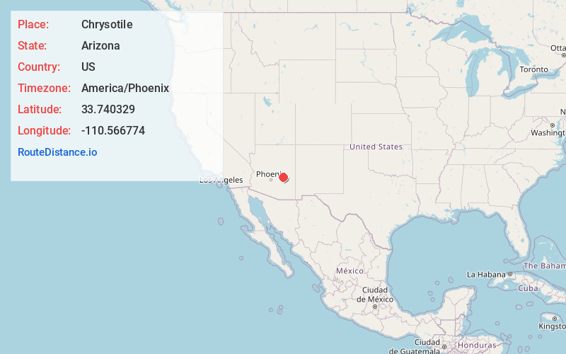
Static map view of Chrysotile, Arizona
Browse Places by Distance
Places within specific distances from Chrysotile
Short Distances
Long Distances
Click any distance to see all places within that range from Chrysotile. Distances shown in miles (1 mile ≈ 1.61 kilometers).