Distance to Dehorn, Arizona

Calculating Your Route
Just a moment while we process your request...
Location Information
-
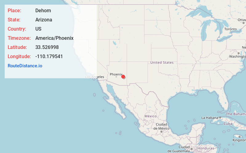
Full AddressDehorn, AZ
-
Coordinates33.5269975, -110.1795409
-
LocationArizona , US
-
TimezoneAmerica/Phoenix
-
Current Local Time3:25:33 AM America/PhoenixThursday, June 5, 2025
-
Page Views0
Nearby Places
Found 10 places within 50 miles

San Carlos
19.7 mi
31.7 km
San Carlos, AZ 85550
Get directions

Canyon Day
19.9 mi
32.0 km
Canyon Day, AZ 85941
Get directions

Fort Apache
21.3 mi
34.3 km
Fort Apache, AZ 85926
Get directions

Peridot
22.5 mi
36.2 km
Peridot, AZ
Get directions

Natches
22.9 mi
36.9 km
Natches, AZ 85530
Get directions
Calva
23.9 mi
38.5 km
Calva, AZ 85530
Get directions

East Fork
24.0 mi
38.6 km
East Fork, AZ 85941
Get directions

Whiteriver
24.7 mi
39.8 km
Whiteriver, AZ 85941
Get directions
Seneca
24.9 mi
40.1 km
Seneca, AZ 85550
Get directions
Cedar Creek
25.7 mi
41.4 km
Cedar Creek, AZ 85941
Get directions
Location Links
Local Weather
Weather Information
Coming soon!
Location Map
Static map view of Dehorn, Arizona
Browse Places by Distance
Places within specific distances from Dehorn
Short Distances
Long Distances
Click any distance to see all places within that range from Dehorn. Distances shown in miles (1 mile ≈ 1.61 kilometers).