Distance to Chuckery, Ohio

Calculating Your Route
Just a moment while we process your request...
Location Information
-
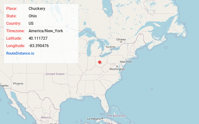
Full AddressChuckery, Darby Township, OH 43064
-
Coordinates40.1117271, -83.3904759
-
LocationDarby Township , Ohio , US
-
TimezoneAmerica/New_York
-
Current Local Time7:49:44 PM America/New_YorkSunday, June 1, 2025
-
Page Views0
About Chuckery
Chuckery is an unincorporated community located in far southwestern Darby Township, Union County, Ohio, United States. It is located at the intersection of State Routes 38 and 161.
Nearby Places
Found 10 places within 50 miles

Unionville Center
3.2 mi
5.1 km
Unionville Center, OH
Get directions

Rosedale
4.1 mi
6.6 km
Rosedale, Pike Township, OH 43029
Get directions
Resaca
4.3 mi
6.9 km
Resaca, Monroe Township, OH 43064
Get directions

Milford Center
5.2 mi
8.4 km
Milford Center, OH
Get directions
Irwin
5.3 mi
8.5 km
Irwin, OH
Get directions

Plain City
6.5 mi
10.5 km
Plain City, OH 43064
Get directions
Plumwood
7.3 mi
11.7 km
Plumwood, OH 43140
Get directions
Dipple
7.4 mi
11.9 km
Dipple, Marysville, OH 43040
Get directions
Arnold
7.6 mi
12.2 km
Arnold, OH 43064
Get directions
Woodstock
8.4 mi
13.5 km
Woodstock, OH 43084
Get directions
Location Links
Local Weather
Weather Information
Coming soon!
Location Map
Static map view of Chuckery, Ohio
Browse Places by Distance
Places within specific distances from Chuckery
Short Distances
Long Distances
Click any distance to see all places within that range from Chuckery. Distances shown in miles (1 mile ≈ 1.61 kilometers).