Distance to Rosedale, Ohio

Calculating Your Route
Just a moment while we process your request...
Location Information
-
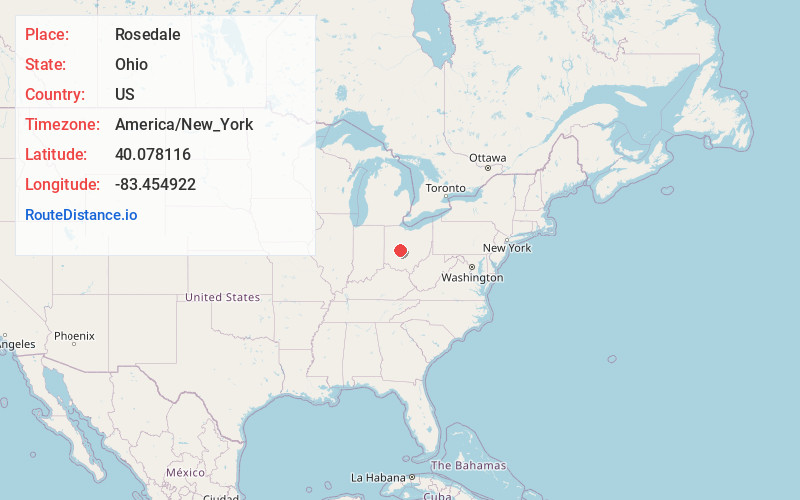
Full AddressRosedale, Pike Township, OH 43029
-
Coordinates40.0781157, -83.4549219
-
LocationPike Township , Ohio , US
-
TimezoneAmerica/New_York
-
Current Local Time3:26:58 AM America/New_YorkWednesday, June 25, 2025
-
Page Views0
About Rosedale
Rosedale is an unincorporated community in central Pike Township, Madison County, Ohio, United States, and roughly thirty miles west of the city of Columbus.
Nearby Places
Found 10 places within 50 miles

Plumwood
5.3 mi
8.5 km
Plumwood, OH 43140
Get directions
Mechanicsburg
5.4 mi
8.7 km
Mechanicsburg, OH 43044
Get directions

Milford Center
7.0 mi
11.3 km
Milford Center, OH
Get directions

Unionville Center
7.4 mi
11.9 km
Unionville Center, OH
Get directions
Woodstock
7.6 mi
12.2 km
Woodstock, OH 43084
Get directions

Choctaw Lake
8.3 mi
13.4 km
Choctaw Lake, OH 43140
Get directions
Mutual
9.6 mi
15.4 km
Mutual, OH
Get directions

Plain City
10.1 mi
16.3 km
Plain City, OH 43064
Get directions

Catawba
10.4 mi
16.7 km
Catawba, OH
Get directions
Allen Center
11.4 mi
18.3 km
Allen Center, OH 43040
Get directions
Location Links
Local Weather
Weather Information
Coming soon!
Location Map
Static map view of Rosedale, Ohio
Browse Places by Distance
Places within specific distances from Rosedale
Short Distances
Long Distances
Click any distance to see all places within that range from Rosedale. Distances shown in miles (1 mile ≈ 1.61 kilometers).