Distance to Claraville, California

Calculating Your Route
Just a moment while we process your request...
Location Information
-
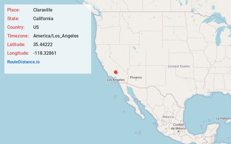
Full AddressClaraville, CA 93518
-
Coordinates35.44222, -118.32861
-
LocationClaraville , California , US
-
TimezoneAmerica/Los_Angeles
-
Current Local Time8:33:04 PM America/Los_AngelesSunday, June 22, 2025
-
Page Views0
About Claraville
Claraville is an unincorporated community in Kern County, California. It is located 13 miles north of Emerald Mountain, at an elevation of 6,302 feet.
A post office operated at Claraville from 1940 to 1941 and from 1949 to 1957.
Nearby Places
Found 10 places within 50 miles

Moreland Mill
4.7 mi
7.6 km
Moreland Mill, CA 93283
Get directions
Burton Mill
5.9 mi
9.5 km
Burton Mill, CA 93205
Get directions
Sageland
7.1 mi
11.4 km
Sageland, CA 93283
Get directions

Twin Oaks
10.0 mi
16.1 km
Twin Oaks, CA 93518
Get directions
Loraine
11.2 mi
18.0 km
Loraine, CA 93518
Get directions

Havilah
11.9 mi
19.2 km
Havilah, CA 93518
Get directions

Squirrel Mountain Valley
13.3 mi
21.4 km
Squirrel Mountain Valley, CA 93240
Get directions

Bodfish
13.6 mi
21.9 km
Bodfish, CA 93205
Get directions

Mountain Mesa
14.3 mi
23.0 km
Mountain Mesa, CA 93240
Get directions

Lake Isabella
14.6 mi
23.5 km
Lake Isabella, CA
Get directions
Location Links
Local Weather
Weather Information
Coming soon!
Location Map
Static map view of Claraville, California
Browse Places by Distance
Places within specific distances from Claraville
Short Distances
Long Distances
Click any distance to see all places within that range from Claraville. Distances shown in miles (1 mile ≈ 1.61 kilometers).