Distance to Twin Oaks, California

Calculating Your Route
Just a moment while we process your request...
Location Information
-
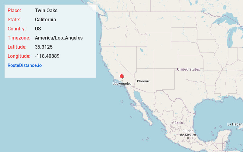
Full AddressTwin Oaks, CA 93518
-
Coordinates35.3125, -118.40889
-
LocationTwin Oaks , California , US
-
TimezoneAmerica/Los_Angeles
-
Current Local Time11:13:37 PM America/Los_AngelesThursday, May 29, 2025
-
Page Views0
About Twin Oaks
Twin Oaks is an unincorporated community in Kern County, California. It is located 1.5 miles east-northeast of Loraine, at an elevation of 2,825 feet.
A post office operated at Twin Oaks from 1926 to 1931.


Nearby Places
Found 10 places within 50 miles

Loraine
1.6 mi
2.6 km
Loraine, CA 93518
Get directions
Fig Orchard
9.7 mi
15.6 km
Fig Orchard, CA 93518
Get directions

Marcel
10.4 mi
16.7 km
Marcel, CA 93561
Get directions
Cable
10.6 mi
17.1 km
Cable, CA 93561
Get directions

Keene
10.6 mi
17.1 km
Keene, CA
Get directions

Walong
10.7 mi
17.2 km
Walong, CA 93561
Get directions

Bealville
12.6 mi
20.3 km
Bealville, CA 93518
Get directions

Golden Hills
12.6 mi
20.3 km
Golden Hills, CA 93561
Get directions

Tehachapi
12.7 mi
20.4 km
Tehachapi, CA 93561
Get directions
Burton Mill
13.0 mi
20.9 km
Burton Mill, CA 93205
Get directions
Location Links
Local Weather
Weather Information
Coming soon!
Location Map
Static map view of Twin Oaks, California
Browse Places by Distance
Places within specific distances from Twin Oaks
Short Distances
Long Distances
Click any distance to see all places within that range from Twin Oaks. Distances shown in miles (1 mile ≈ 1.61 kilometers).