Distance to Clarke County, Alabama

Calculating Your Route
Just a moment while we process your request...
Location Information
-
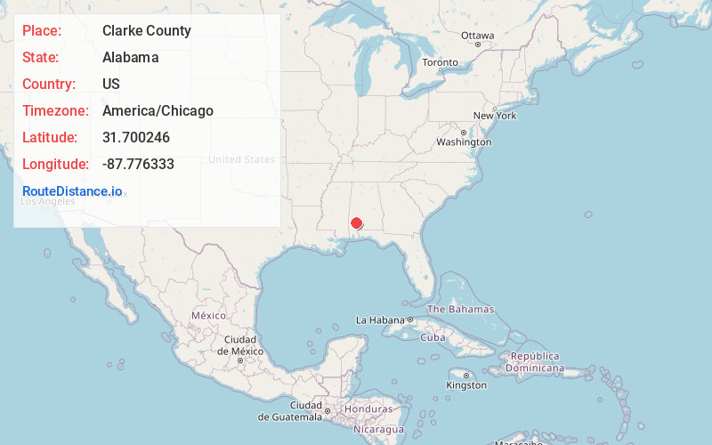
Full AddressClarke County, AL
-
Coordinates31.7002461, -87.7763333
-
LocationAlabama , US
-
TimezoneAmerica/Chicago
-
Current Local Time8:55:24 PM America/ChicagoSunday, June 1, 2025
-
Page Views0
About Clarke County
Clarke County is a county located in the southwestern part of the U.S. state of Alabama. As of the 2020 census, the population was 23,087. The county seat is Grove Hill. The county's largest city is Jackson. The county was created by the legislature of the Mississippi Territory in 1812.


Nearby Places
Found 10 places within 50 miles
Grove Hill
0.6 mi
1.0 km
Grove Hill, AL
Get directions

Whatley
5.4 mi
8.7 km
Whatley, AL 36482
Get directions
Fulton
6.7 mi
10.8 km
Fulton, AL
Get directions

Thomasville
14.9 mi
24.0 km
Thomasville, AL
Get directions

Jackson
14.9 mi
24.0 km
Jackson, AL 36545
Get directions
Leroy
17.9 mi
28.8 km
Leroy, AL 36548
Get directions
Gainestown
18.3 mi
29.5 km
Gainestown, AL 36540
Get directions
Coffeeville
18.8 mi
30.3 km
Coffeeville, AL 36524
Get directions

St Stephens
19.7 mi
31.7 km
St Stephens, AL 36569
Get directions
Rockville
19.8 mi
31.9 km
Rockville, AL 36545
Get directions
Location Links
Local Weather
Weather Information
Coming soon!
Location Map
Static map view of Clarke County, Alabama
Browse Places by Distance
Places within specific distances from Clarke County
Short Distances
Long Distances
Click any distance to see all places within that range from Clarke County. Distances shown in miles (1 mile ≈ 1.61 kilometers).