Distance to Clifton, Kentucky

Calculating Your Route
Just a moment while we process your request...
Location Information
-
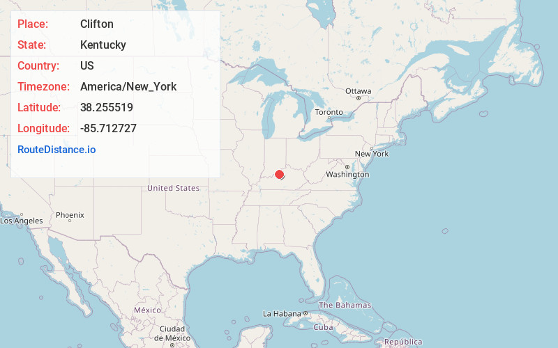
Full AddressClifton, Louisville, KY 40206
-
Coordinates38.2555194, -85.7127271
-
NeighborhoodClifton
-
LocationLouisville , Kentucky , US
-
TimezoneAmerica/New_York
-
Current Local Time11:44:11 AM America/New_YorkThursday, June 12, 2025
-
Page Views0
About Clifton
Clifton is a neighborhood east of downtown Louisville, Kentucky USA. Clifton was named because of its hilly location on the Ohio River valley escarpment. Clifton is bounded by I-64, N Ewing Ave, Brownsboro Road, and Mellwood Ave.


Nearby Places
Found 10 places within 50 miles

Jeffersonville
2.0 mi
3.2 km
Jeffersonville, IN
Get directions

Mockingbird Valley
2.0 mi
3.2 km
Mockingbird Valley, KY 40207
Get directions
Rolling Fields
2.4 mi
3.9 km
Rolling Fields, KY 40207
Get directions
Brownsboro Village
2.6 mi
4.2 km
Brownsboro Village, KY 40207
Get directions
Seneca Gardens
2.7 mi
4.3 km
Seneca Gardens, KY 40205
Get directions
Druid Hills
2.8 mi
4.5 km
Druid Hills, KY 40207
Get directions
Bellewood
2.9 mi
4.7 km
Bellewood, KY 40207
Get directions
Strathmoor Village
2.9 mi
4.7 km
Strathmoor Village, KY 40205
Get directions
Indian Hills
3.0 mi
4.8 km
Indian Hills, KY
Get directions

Louisville
3.0 mi
4.8 km
Louisville, KY
Get directions
Location Links
Local Weather
Weather Information
Coming soon!
Location Map
Static map view of Clifton, Kentucky
Browse Places by Distance
Places within specific distances from Clifton
Short Distances
Long Distances
Click any distance to see all places within that range from Clifton. Distances shown in miles (1 mile ≈ 1.61 kilometers).