Distance to Clinton Falls, Minnesota

Calculating Your Route
Just a moment while we process your request...
Location Information
-
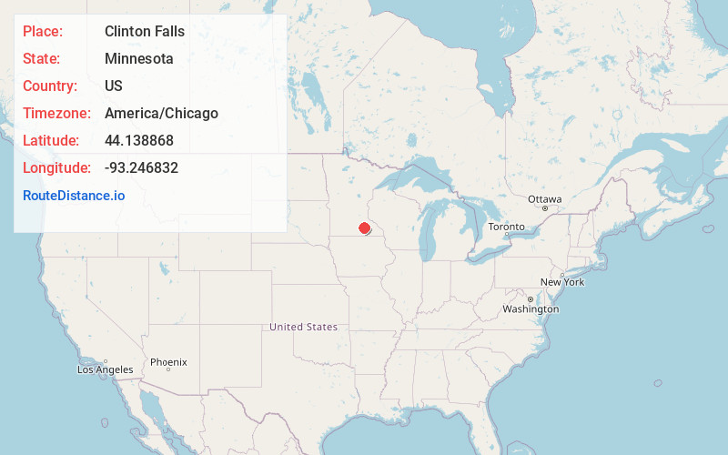
Full AddressClinton Falls, Owatonna, MN 55060
-
Coordinates44.1388675, -93.2468318
-
NeighborhoodClinton Falls
-
LocationOwatonna , Minnesota , US
-
TimezoneAmerica/Chicago
-
Current Local Time4:13:34 PM America/ChicagoTuesday, May 20, 2025
-
Page Views0
About Clinton Falls
Clinton Falls is an unincorporated community in Clinton Falls Township, Steele County, Minnesota, United States.
The community is located between Medford and Owatonna near Interstate 35 and Steele County Road 9. Crane Creek and the Straight River meet near Clinton Falls.
Clinton Falls was platted in 1855.
Nearby Places
Found 10 places within 50 miles

Medford
2.4 mi
3.9 km
Medford, MN 55049
Get directions

Owatonna
3.7 mi
6.0 km
Owatonna, MN
Get directions

Merton
5.0 mi
8.0 km
Merton, MN 55060
Get directions
Havana
7.1 mi
11.4 km
Havana, MN 55060
Get directions
Pratt
9.1 mi
14.6 km
Pratt, MN 55060
Get directions
Warsaw
10.6 mi
17.1 km
Warsaw, MN
Get directions

Faribault
10.8 mi
17.4 km
Faribault, MN 55021
Get directions

Morristown
11.5 mi
18.5 km
Morristown, MN 55052
Get directions

Waseca
13.7 mi
22.0 km
Waseca, MN 56093
Get directions

Claremont
14.0 mi
22.5 km
Claremont, MN 55924
Get directions
Location Links
Local Weather
Weather Information
Coming soon!
Location Map
Static map view of Clinton Falls, Minnesota
Browse Places by Distance
Places within specific distances from Clinton Falls
Short Distances
Long Distances
Click any distance to see all places within that range from Clinton Falls. Distances shown in miles (1 mile ≈ 1.61 kilometers).