Distance to Clinton, California

Calculating Your Route
Just a moment while we process your request...
Location Information
-
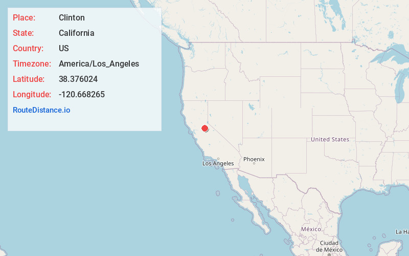
Full AddressClinton, CA 95642
-
Coordinates38.3760236, -120.6682645
-
LocationClinton , California , US
-
TimezoneAmerica/Los_Angeles
-
Current Local Time6:15:24 PM America/Los_AngelesSunday, June 22, 2025
-
Page Views0
About Clinton
Clinton is a small town in Amador County, California. It is located 2.5 miles south of Pine Grove, at an elevation of 1972 feet. Clinton was the center of a placer mining community during the 1850s and of quartz mining as late as the 1880s.
Nearby Places
Found 10 places within 50 miles

Pine Grove
2.6 mi
4.2 km
Pine Grove, CA
Get directions

Electra
3.0 mi
4.8 km
Electra, CA 95642
Get directions
Rich Gulch
3.8 mi
6.1 km
Rich Gulch, CA 95232
Get directions
Red Corral
4.3 mi
6.9 km
Red Corral, CA
Get directions
Glencoe
4.8 mi
7.7 km
Glencoe, CA
Get directions

Volcano
5.2 mi
8.4 km
Volcano, CA
Get directions

Pioneer
5.6 mi
9.0 km
Pioneer, CA 95666
Get directions

Mokelumne Hill
5.6 mi
9.0 km
Mokelumne Hill, CA 95245
Get directions

Jackson
6.0 mi
9.7 km
Jackson, CA 95642
Get directions
Jesus Maria
6.4 mi
10.3 km
Jesus Maria, CA 95245
Get directions
Location Links
Local Weather
Weather Information
Coming soon!
Location Map
Static map view of Clinton, California
Browse Places by Distance
Places within specific distances from Clinton
Short Distances
Long Distances
Click any distance to see all places within that range from Clinton. Distances shown in miles (1 mile ≈ 1.61 kilometers).