Distance to Rich Gulch, California

Calculating Your Route
Just a moment while we process your request...
Location Information
-
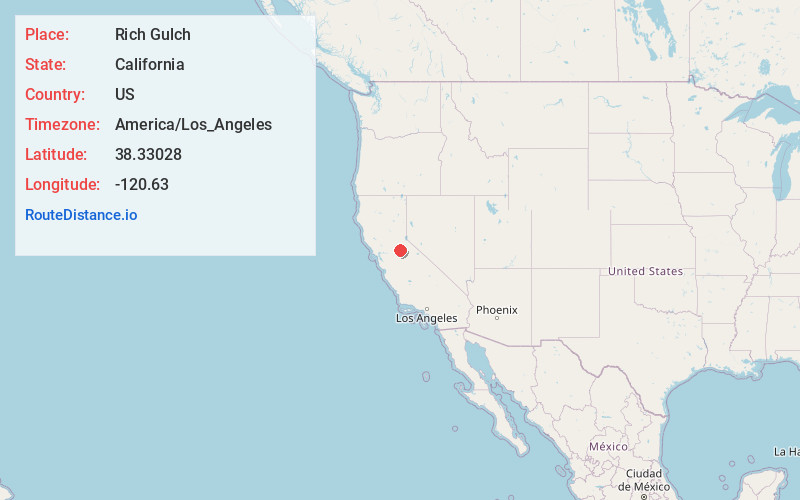
Full AddressRich Gulch, CA 95232
-
Coordinates38.33028, -120.63
-
LocationRich Gulch , California , US
-
TimezoneAmerica/Los_Angeles
-
Current Local Time1:15:43 PM America/Los_AngelesTuesday, June 10, 2025
-
Page Views0
About Rich Gulch
Rich Gulch is an unincorporated community in Calaveras County, California, 5 miles east-northeast of Mokelumne Hill. It lies at an elevation of 1903 feet.
Rich Gulch was the seat of Calaveras County at one time, and at its 1850s peak was a significant gold-mining center home to some five thousand residents.
Nearby Places
Found 10 places within 50 miles

Glencoe
2.9 mi
4.7 km
Glencoe, CA
Get directions
Jesus Maria
3.2 mi
5.1 km
Jesus Maria, CA 95245
Get directions

Mokelumne Hill
4.6 mi
7.4 km
Mokelumne Hill, CA 95245
Get directions

Pine Grove
6.0 mi
9.7 km
Pine Grove, CA
Get directions
Red Corral
6.1 mi
9.8 km
Red Corral, CA
Get directions
Sandy Gulch
6.3 mi
10.1 km
Sandy Gulch, CA 95255
Get directions

Rail Rd Flat
6.4 mi
10.3 km
Rail Rd Flat, CA
Get directions

Pioneer
7.0 mi
11.3 km
Pioneer, CA 95666
Get directions

West Point
7.3 mi
11.7 km
West Point, CA 95255
Get directions

Volcano
7.9 mi
12.7 km
Volcano, CA
Get directions
Location Links
Local Weather
Weather Information
Coming soon!
Location Map
Static map view of Rich Gulch, California
Browse Places by Distance
Places within specific distances from Rich Gulch
Short Distances
Long Distances
Click any distance to see all places within that range from Rich Gulch. Distances shown in miles (1 mile ≈ 1.61 kilometers).