Distance to Volcano, California

Calculating Your Route
Just a moment while we process your request...
Location Information
-
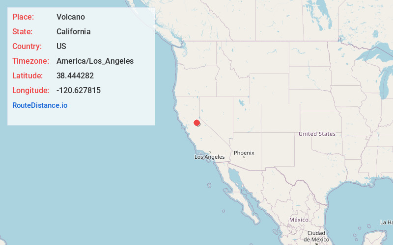
Full AddressVolcano, CA
-
Coordinates38.444282, -120.6278154
-
LocationVolcano , California , US
-
TimezoneAmerica/Los_Angeles
-
Current Local Time2:18:43 AM America/Los_AngelesSaturday, June 14, 2025
-
Page Views0
About Volcano
Volcano is a census-designated place in Amador County, California. It lies at an elevation of 2,070 feet. The population was 104 at the 2020 census. It is located at 38°26′35″N 120°37′51″W, just north of Pine Grove. The town is registered as a California Historical Landmark.


Nearby Places
Found 10 places within 50 miles

Red Corral
2.1 mi
3.4 km
Red Corral, CA
Get directions

Pioneer
2.5 mi
4.0 km
Pioneer, CA 95666
Get directions

Pine Grove
2.7 mi
4.3 km
Pine Grove, CA
Get directions
Buckhorn
5.4 mi
8.7 km
Buckhorn, CA 95666
Get directions

West Point
6.3 mi
10.1 km
West Point, CA 95255
Get directions

Rail Rd Flat
9.4 mi
15.1 km
Rail Rd Flat, CA
Get directions

River Pines
9.4 mi
15.1 km
River Pines, CA
Get directions

Sutter Creek
10.1 mi
16.3 km
Sutter Creek, CA
Get directions

Jackson
10.3 mi
16.6 km
Jackson, CA 95642
Get directions
Martell
10.7 mi
17.2 km
Martell, CA
Get directions
Location Links
Local Weather
Weather Information
Coming soon!
Location Map
Static map view of Volcano, California
Browse Places by Distance
Places within specific distances from Volcano
Short Distances
Long Distances
Click any distance to see all places within that range from Volcano. Distances shown in miles (1 mile ≈ 1.61 kilometers).