Distance to Clodine, Texas

Calculating Your Route
Just a moment while we process your request...
Location Information
-
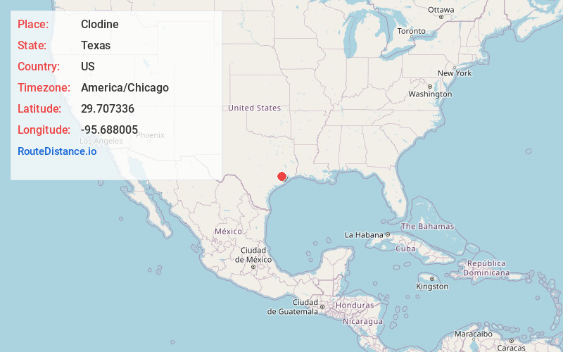
Full AddressClodine, Mission Bend, TX 77083
-
Coordinates29.7073355, -95.6880051
-
NeighborhoodClodine
-
LocationMission Bend , Texas , US
-
TimezoneAmerica/Chicago
-
Current Local Time12:44:57 PM America/ChicagoMonday, June 16, 2025
-
Page Views0
About Clodine
Clodine is an unincorporated community in Fort Bend County, Texas, United States. According to the Handbook of Texas, the community had a population of 31 in 1990. It is located in the Greater Houston metro area.
Nearby Places
Found 10 places within 50 miles

Mission Bend
1.7 mi
2.7 km
Mission Bend, TX
Get directions

Four Corners
2.5 mi
4.0 km
Four Corners, TX
Get directions

Cinco Ranch
4.7 mi
7.6 km
Cinco Ranch, TX
Get directions

Pecan Grove
6.2 mi
10.0 km
Pecan Grove, TX 77406
Get directions

Meadows Place
7.1 mi
11.4 km
Meadows Place, TX 77477
Get directions

Sugar Land
8.5 mi
13.7 km
Sugar Land, TX
Get directions
Foster
9.5 mi
15.3 km
Foster, TX 77406
Get directions

Richmond
9.7 mi
15.6 km
Richmond, TX
Get directions

Katy
9.8 mi
15.8 km
Katy, TX
Get directions

Stafford
10.0 mi
16.1 km
Stafford, TX 77477
Get directions
Location Links
Local Weather
Weather Information
Coming soon!
Location Map
Static map view of Clodine, Texas
Browse Places by Distance
Places within specific distances from Clodine
Short Distances
Long Distances
Click any distance to see all places within that range from Clodine. Distances shown in miles (1 mile ≈ 1.61 kilometers).