Distance to Clyde, Arkansas

Calculating Your Route
Just a moment while we process your request...
Location Information
-
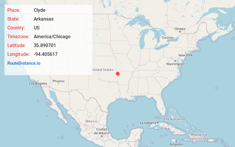
Full AddressClyde, AR 72717
-
Coordinates35.890701, -94.405617
-
LocationClyde , Arkansas , US
-
TimezoneAmerica/Chicago
-
Current Local Time3:53:34 AM America/ChicagoWednesday, June 18, 2025
-
Page Views0
About Clyde
Clyde is an unincorporated community in Cane Hill Township, Washington County, Arkansas, United States. Clyde is on Arkansas Highway 45, approximately 26 miles southwest of Fayetteville and six miles east of the Oklahoma border.
Nearby Places
Found 10 places within 50 miles

Canehill
1.3 mi
2.1 km
Canehill, AR
Get directions

Morrow
2.9 mi
4.7 km
Morrow, AR
Get directions

Lincoln
4.1 mi
6.6 km
Lincoln, AR 72744
Get directions

Skylight Mountain
4.3 mi
6.9 km
Skylight Mountain, Arkansas 72753
Get directions
Dutch Mills
4.9 mi
7.9 km
Dutch Mills, AR 72744
Get directions
Suttle
5.9 mi
9.5 km
Suttle, AR 72744
Get directions
Strickler
6.5 mi
10.5 km
Strickler, AR 72774
Get directions
Floss
7.1 mi
11.4 km
Floss, AR 72753
Get directions
Tolu
7.3 mi
11.7 km
Tolu, AR 72729
Get directions

Prairie Grove
7.7 mi
12.4 km
Prairie Grove, AR
Get directions
Location Links
Local Weather
Weather Information
Coming soon!
Location Map
Static map view of Clyde, Arkansas
Browse Places by Distance
Places within specific distances from Clyde
Short Distances
Long Distances
Click any distance to see all places within that range from Clyde. Distances shown in miles (1 mile ≈ 1.61 kilometers).