Distance to Coconino County, Arizona

Calculating Your Route
Just a moment while we process your request...
Location Information
-
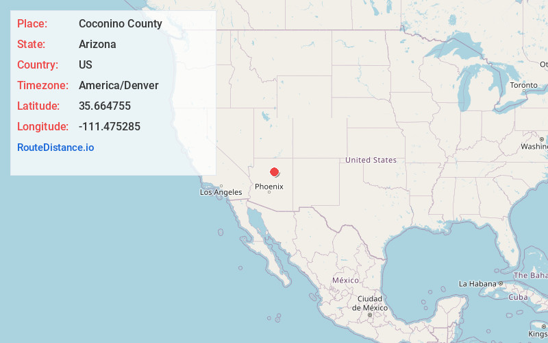
Full AddressCoconino County, AZ
-
Coordinates35.6647545, -111.4752851
-
LocationArizona , US
-
TimezoneAmerica/Denver
-
Current Local Time2:11:57 PM America/DenverSunday, June 15, 2025
-
Page Views0
About Coconino County
Coconino County is a county in the North-Central part of the U.S. state of Arizona. Its population was 145,101 at the 2020 census. The county seat is Flagstaff. The county takes its name from Cohonino, a name applied to the Havasupai people.


Nearby Places
Found 10 places within 50 miles

Cameron
15.0 mi
24.1 km
Cameron, AZ 86020
Get directions

Doney Park
27.4 mi
44.1 km
Doney Park, AZ 86004
Get directions

Fort Valley
30.9 mi
49.7 km
Fort Valley, AZ 86001
Get directions

Flagstaff
33.7 mi
54.2 km
Flagstaff, AZ
Get directions

Moenkopi
33.9 mi
54.6 km
Moenkopi, AZ 86045
Get directions

Tuba City
35.1 mi
56.5 km
Tuba City, AZ 86045
Get directions
Tolani Lakes
35.5 mi
57.1 km
Tolani Lakes, Arizona 86035
Get directions

Bellemont
35.7 mi
57.5 km
Bellemont, AZ
Get directions

Leupp
36.6 mi
58.9 km
Leupp, AZ
Get directions

Valle
37.3 mi
60.0 km
Valle, AZ
Get directions
Location Links
Local Weather
Weather Information
Coming soon!
Location Map
Static map view of Coconino County, Arizona
Browse Places by Distance
Places within specific distances from Coconino County
Short Distances
Long Distances
Click any distance to see all places within that range from Coconino County. Distances shown in miles (1 mile ≈ 1.61 kilometers).