Distance to Cohasset, Virginia

Calculating Your Route
Just a moment while we process your request...
Location Information
-
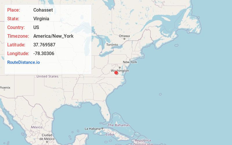
Full AddressCohasset, VA 22963
-
Coordinates37.7695869, -78.3030595
-
LocationVirginia , US
-
TimezoneAmerica/New_York
-
Current Local Time7:09:08 AM America/New_YorkFriday, June 20, 2025
-
Page Views0
About Cohasset
Cohasset is an unincorporated community in Fluvanna County, in the U.S. state of Virginia located about two miles west of Fork Union on State Route 6.
It became a community because of the Virginia Air Line Railway, with the train station being known as the Fork Union Depot.
Nearby Places
Found 10 places within 50 miles

Fork Union
2.3 mi
3.7 km
Fork Union, VA
Get directions
Strathouse
3.5 mi
5.6 km
Strathouse, VA 23022
Get directions

Bremo Bluff
4.0 mi
6.4 km
Bremo Bluff, VA 23022
Get directions
West Bottom
4.3 mi
6.9 km
West Bottom, VA 23022
Get directions
New Canton
4.5 mi
7.2 km
New Canton, VA 23123
Get directions
Hardware
5.9 mi
9.5 km
Hardware, VA 24590
Get directions
Rockaway
6.1 mi
9.8 km
Rockaway, Palmyra, VA 22963
Get directions
Arvonia
6.3 mi
10.1 km
Arvonia, VA 23004
Get directions
Lesueur
6.6 mi
10.6 km
Lesueur, VA 23004
Get directions

Palmyra
6.7 mi
10.8 km
Palmyra, VA 22963
Get directions
Location Links
Local Weather
Weather Information
Coming soon!
Location Map
Static map view of Cohasset, Virginia
Browse Places by Distance
Places within specific distances from Cohasset
Short Distances
Long Distances
Click any distance to see all places within that range from Cohasset. Distances shown in miles (1 mile ≈ 1.61 kilometers).