Distance to Compton, Oklahoma

Calculating Your Route
Just a moment while we process your request...
Location Information
-
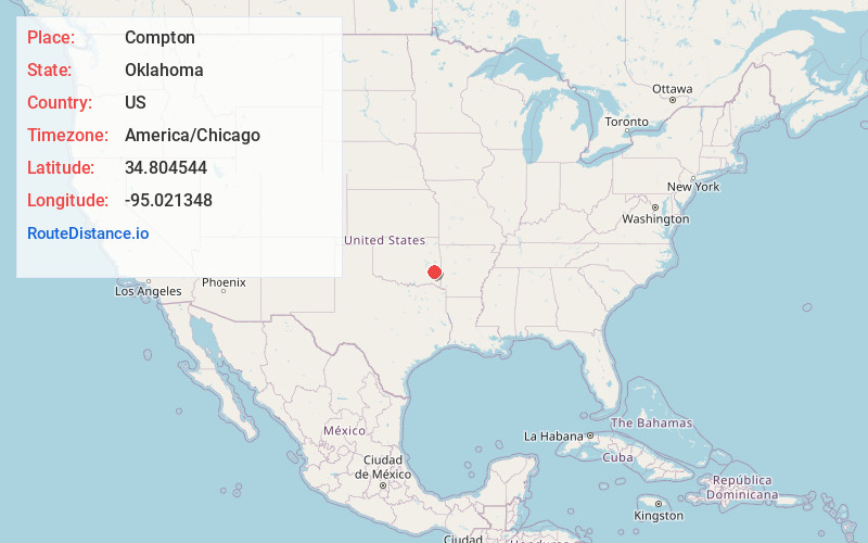
Full AddressCompton, OK 74563
-
Coordinates34.8045443, -95.0213483
-
LocationOklahoma , US
-
TimezoneAmerica/Chicago
-
Current Local Time10:15:07 PM America/ChicagoFriday, May 30, 2025
-
Page Views0
Nearby Places
Found 10 places within 50 miles

Lamberson
0.8 mi
1.3 km
Lamberson, OK 74571
Get directions

Bengal
3.0 mi
4.8 km
Bengal, OK 74563
Get directions

Talihina
4.0 mi
6.4 km
Talihina, OK 74571
Get directions
Le Flore
6.9 mi
11.1 km
Le Flore, OK
Get directions
Denman
9.2 mi
14.8 km
Denman, OK 74563
Get directions
Red Oak
10.7 mi
17.2 km
Red Oak, OK 74563
Get directions
Albion
10.8 mi
17.4 km
Albion, OK 74571
Get directions
Whitesboro
10.9 mi
17.5 km
Whitesboro, OK
Get directions
Summerfield
10.9 mi
17.5 km
Summerfield, OK 74966
Get directions

Fanshawe
12.0 mi
19.3 km
Fanshawe, OK 74966
Get directions
Location Links
Local Weather
Weather Information
Coming soon!
Location Map
Static map view of Compton, Oklahoma
Browse Places by Distance
Places within specific distances from Compton
Short Distances
Long Distances
Click any distance to see all places within that range from Compton. Distances shown in miles (1 mile ≈ 1.61 kilometers).