Distance to Albion, Oklahoma

Calculating Your Route
Just a moment while we process your request...
Location Information
-
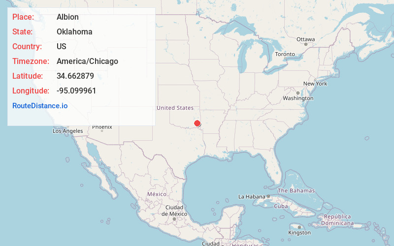
Full AddressAlbion, OK 74571
-
Coordinates34.6628785, -95.0999613
-
LocationAlbion , Oklahoma , US
-
TimezoneAmerica/Chicago
-
Current Local Time5:03:48 PM America/ChicagoWednesday, July 2, 2025
-
Page Views0
About Albion
Albion is a town in northeast Pushmataha County, Oklahoma, United States, approximately 2 miles south of the Pushmataha-Latimer county line. The population was 58 as of the 2020 Census.
Nearby Places
Found 10 places within 50 miles

Talihina
6.8 mi
10.9 km
Talihina, OK 74571
Get directions

Tuskahoma
10.5 mi
16.9 km
Tuskahoma, OK
Get directions

Whitesboro
12.4 mi
20.0 km
Whitesboro, OK
Get directions

Little Rock Creek
14.4 mi
23.2 km
Little Rock Creek, Oklahoma 74957
Get directions

Clayton
15.2 mi
24.5 km
Clayton, OK 74536
Get directions
Le Flore
17.6 mi
28.3 km
Le Flore, OK
Get directions
Panola
19.5 mi
31.4 km
Panola, OK
Get directions
Red Oak
19.9 mi
32.0 km
Red Oak, OK 74563
Get directions

Wilburton
21.3 mi
34.3 km
Wilburton, OK 74578
Get directions

Fanshawe
22.7 mi
36.5 km
Fanshawe, OK 74966
Get directions
Location Links
Local Weather
Weather Information
Coming soon!
Location Map
Static map view of Albion, Oklahoma
Browse Places by Distance
Places within specific distances from Albion
Short Distances
Long Distances
Click any distance to see all places within that range from Albion. Distances shown in miles (1 mile ≈ 1.61 kilometers).