Distance to Congo, Alabama

Calculating Your Route
Just a moment while we process your request...
Location Information
-
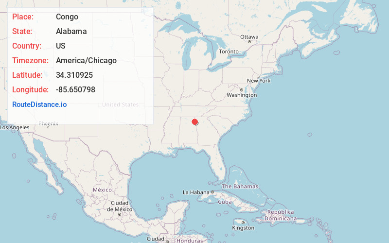
Full AddressCongo, AL 35959
-
Coordinates34.310925, -85.6507975
-
LocationAlabama , US
-
TimezoneAmerica/Chicago
-
Current Local Time8:15:13 AM America/ChicagoThursday, June 12, 2025
-
Page Views0
About Congo
Congo is an unincorporated community in Cherokee County, Alabama, United States.
Nearby Places
Found 10 places within 50 miles

Little River Canyon
2.2 mi
3.5 km
Little River Canyon, Alabama
Get directions

Taft
2.6 mi
4.2 km
Taft, AL 35973
Get directions
Blanche
4.3 mi
6.9 km
Blanche, AL 35973
Get directions

Gaylesville
6.1 mi
9.8 km
Gaylesville, AL 35973
Get directions
Blue Pond
6.5 mi
10.5 km
Blue Pond, AL 35959
Get directions

Cedar Bluff
6.7 mi
10.8 km
Cedar Bluff, AL
Get directions

Sand Rock
8.2 mi
13.2 km
Sand Rock, AL
Get directions

Broomtown
8.2 mi
13.2 km
Broomtown, AL 35973
Get directions
Fullerton
9.0 mi
14.5 km
Fullerton, AL 35973
Get directions

Fort Payne
10.0 mi
16.1 km
Fort Payne, AL
Get directions
Location Links
Local Weather
Weather Information
Coming soon!
Location Map
Static map view of Congo, Alabama
Browse Places by Distance
Places within specific distances from Congo
Short Distances
Long Distances
Click any distance to see all places within that range from Congo. Distances shown in miles (1 mile ≈ 1.61 kilometers).