Distance to Connerville, Oklahoma

Calculating Your Route
Just a moment while we process your request...
Location Information
-
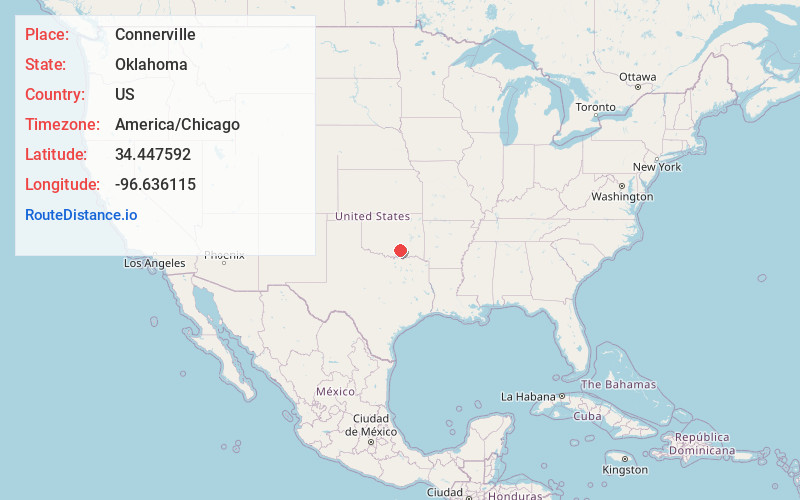
Full AddressConnerville, OK 74856
-
Coordinates34.4475921, -96.6361153
-
LocationConnerville , Oklahoma , US
-
TimezoneAmerica/Chicago
-
Current Local Time7:16:14 PM America/ChicagoFriday, June 6, 2025
-
Page Views0
About Connerville
Connerville is a rural unincorporated community and census-designated place on the Blue River in Johnston County, Oklahoma, United States. The post office opened August 6, 1897, in District 16 of the old Indian Territory. The ZIP Code is 74836. It is said to have been named for George B. Conner, the first postmaster.


Nearby Places
Found 10 places within 50 miles

Mill Creek
11.3 mi
18.2 km
Mill Creek, OK 74856
Get directions

Clarita
11.7 mi
18.8 km
Clarita, OK
Get directions

Wapanucka
13.1 mi
21.1 km
Wapanucka, OK 73461
Get directions

Tishomingo
14.8 mi
23.8 km
Tishomingo, OK 73460
Get directions

Hickory
14.8 mi
23.8 km
Hickory, OK 73086
Get directions

Milburn
15.1 mi
24.3 km
Milburn, OK 73450
Get directions
Stonewall
15.5 mi
24.9 km
Stonewall, OK 74871
Get directions

Ravia
15.7 mi
25.3 km
Ravia, OK
Get directions
Tupelo
16.2 mi
26.1 km
Tupelo, OK 74572
Get directions

Fitzhugh
17.0 mi
27.4 km
Fitzhugh, OK
Get directions
Location Links
Local Weather
Weather Information
Coming soon!
Location Map
Static map view of Connerville, Oklahoma
Browse Places by Distance
Places within specific distances from Connerville
Short Distances
Long Distances
Click any distance to see all places within that range from Connerville. Distances shown in miles (1 mile ≈ 1.61 kilometers).