Distance to Corinne, Oklahoma

Calculating Your Route
Just a moment while we process your request...
Location Information
-
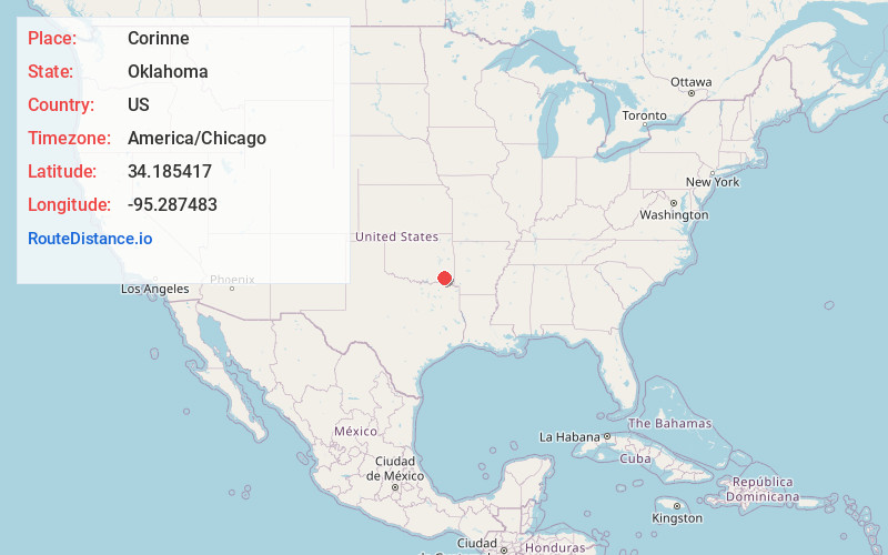
Full AddressCorinne, OK 74735
-
Coordinates34.185417, -95.287483
-
LocationCorinne , Oklahoma , US
-
TimezoneAmerica/Chicago
-
Current Local Time9:17:18 PM America/ChicagoFriday, June 20, 2025
-
Page Views0
About Corinne
Corinne is an unincorporated community in southern Pushmataha County, Oklahoma, United States, located 19 miles east of Antlers. Using the Public Land Survey System commonly in use in Oklahoma, the community is located in T22-4S-R19E.
Nearby Places
Found 10 places within 50 miles

Rattan
7.2 mi
11.6 km
Rattan, OK
Get directions

Apple
8.3 mi
13.4 km
Apple, OK 74743
Get directions

Ringold
11.3 mi
18.2 km
Ringold, OK 74754
Get directions

Fort Towson
11.6 mi
18.7 km
Fort Towson, OK 74735
Get directions
Messer
12.4 mi
20.0 km
Messer, OK 74743
Get directions

Swink
12.6 mi
20.3 km
Swink, OK 74761
Get directions
Alikchi
12.6 mi
20.3 km
Alikchi, OK 74764
Get directions

Sawyer
12.8 mi
20.6 km
Sawyer, OK
Get directions
Dela
13.5 mi
21.7 km
Dela, OK 74523
Get directions

Blackjack Mountain
14.3 mi
23.0 km
Blackjack Mountain, Oklahoma 74543
Get directions
Location Links
Local Weather
Weather Information
Coming soon!
Location Map
Static map view of Corinne, Oklahoma
Browse Places by Distance
Places within specific distances from Corinne
Short Distances
Long Distances
Click any distance to see all places within that range from Corinne. Distances shown in miles (1 mile ≈ 1.61 kilometers).