Distance to Covington, Texas

Calculating Your Route
Just a moment while we process your request...
Location Information
-
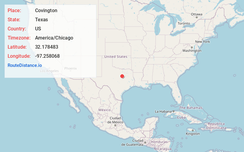
Full AddressCovington, TX 76636
-
Coordinates32.1784832, -97.2580677
-
LocationCovington , Texas , US
-
TimezoneAmerica/Chicago
-
Current Local Time7:35:38 PM America/ChicagoSaturday, May 17, 2025
-
Page Views0
About Covington
Covington is a city in Hill County in central Texas, United States. Located at the intersection of FM 67 and State Highway 171, 14 miles north of Hillsboro, it is near the northern boundary of Hill County.
Nearby Places
Found 10 places within 50 miles

Itasca
6.5 mi
10.5 km
Itasca, TX 76055
Get directions

Rio Vista
7.8 mi
12.6 km
Rio Vista, TX 76093
Get directions

Grandview
7.9 mi
12.7 km
Grandview, TX 76050
Get directions

Blum
8.5 mi
13.7 km
Blum, TX 76627
Get directions

Coyote Flats
13.0 mi
20.9 km
Coyote Flats, TX
Get directions

Hillsboro
13.8 mi
22.2 km
Hillsboro, TX 76645
Get directions

Cleburne
13.9 mi
22.4 km
Cleburne, TX
Get directions

Keene
15.6 mi
25.1 km
Keene, TX
Get directions

Alvarado
16.0 mi
25.7 km
Alvarado, TX 76009
Get directions

Whitney
16.1 mi
25.9 km
Whitney, TX 76692
Get directions
Location Links
Local Weather
Weather Information
Coming soon!
Location Map
Static map view of Covington, Texas
Browse Places by Distance
Places within specific distances from Covington
Short Distances
Long Distances
Click any distance to see all places within that range from Covington. Distances shown in miles (1 mile ≈ 1.61 kilometers).