Distance to Crestline, Kansas

Calculating Your Route
Just a moment while we process your request...
Location Information
-
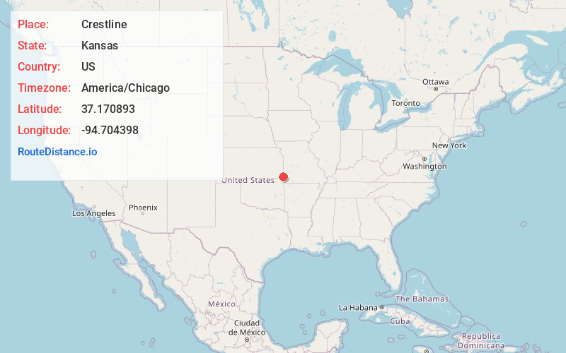
Full AddressCrestline, KS
-
Coordinates37.1708926, -94.7043982
-
LocationCrestline , Kansas , US
-
TimezoneAmerica/Chicago
-
Current Local Time10:22:06 PM America/ChicagoThursday, June 19, 2025
-
Page Views0
About Crestline
Crestline is a census-designated place in Cherokee County, Kansas, United States. As of the 2020 census, the population was 116. Crestline is located on U.S. Route 400, 7.5 miles east of Columbus.
Nearby Places
Found 10 places within 50 miles

Riverton
6.6 mi
10.6 km
Riverton, KS 66770
Get directions

Galena
7.5 mi
12.1 km
Galena, KS 66739
Get directions

Carl Junction
7.7 mi
12.4 km
Carl Junction, MO
Get directions

Columbus
7.7 mi
12.4 km
Columbus, KS 66725
Get directions

Waco
7.8 mi
12.6 km
Waco, MO 64832
Get directions

Lowell
8.4 mi
13.5 km
Lowell, KS 66713
Get directions

Asbury
9.0 mi
14.5 km
Asbury, MO 64832
Get directions
Scammon
9.9 mi
15.9 km
Scammon, KS 66773
Get directions

Weir
10.3 mi
16.6 km
Weir, KS 66781
Get directions

Baxter Springs
10.3 mi
16.6 km
Baxter Springs, KS 66713
Get directions
Location Links
Local Weather
Weather Information
Coming soon!
Location Map
Static map view of Crestline, Kansas
Browse Places by Distance
Places within specific distances from Crestline
Short Distances
Long Distances
Click any distance to see all places within that range from Crestline. Distances shown in miles (1 mile ≈ 1.61 kilometers).