Distance to Daggett, California

Calculating Your Route
Just a moment while we process your request...
Location Information
-
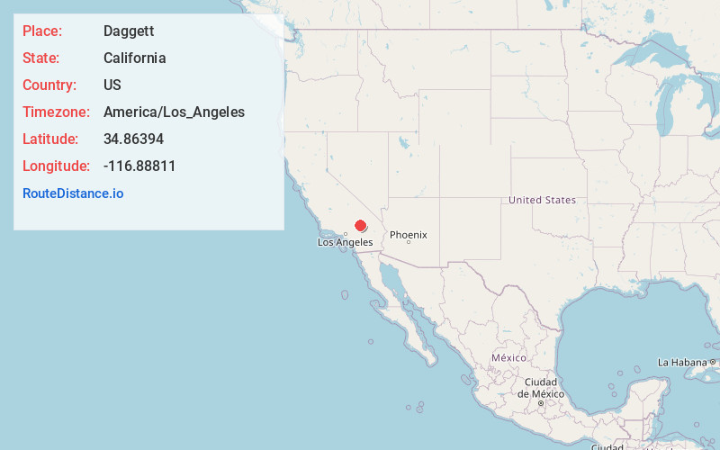
Full AddressDaggett, CA 92327
-
Coordinates34.8639395, -116.8881102
-
LocationDaggett , California , US
-
TimezoneAmerica/Los_Angeles
-
Current Local Time2:04:37 PM America/Los_AngelesWednesday, June 18, 2025
-
Page Views0
About Daggett
Daggett is an unincorporated town located in San Bernardino County, California, in the United States. The town is located on Interstate 40, ten miles east of Barstow, at an elevation of approximately 2,000 feet. The town has a population of about 200. The ZIP code is 92327 and the community is inside area code 760.


Nearby Places
Found 10 places within 50 miles

Yermo
4.8 mi
7.7 km
Yermo, CA
Get directions

Barstow
7.6 mi
12.2 km
Barstow, CA
Get directions

Hutt
11.0 mi
17.7 km
Hutt, CA 92311
Get directions

Lenwood
12.5 mi
20.1 km
Lenwood, CA 92311
Get directions

Bell Mountain
25.2 mi
40.6 km
Bell Mountain, CA 92307
Get directions

Helendale
27.4 mi
44.1 km
Helendale, CA 92342
Get directions

Lucerne Valley
29.4 mi
47.3 km
Lucerne Valley, CA 92356
Get directions

Fort Irwin
29.9 mi
48.1 km
Fort Irwin, CA 92310
Get directions
La Delta
30.1 mi
48.4 km
La Delta, CA 92368
Get directions

Apple Valley
30.3 mi
48.8 km
Apple Valley, CA
Get directions
Location Links
Local Weather
Weather Information
Coming soon!
Location Map
Static map view of Daggett, California
Browse Places by Distance
Places within specific distances from Daggett
Short Distances
Long Distances
Click any distance to see all places within that range from Daggett. Distances shown in miles (1 mile ≈ 1.61 kilometers).