Distance to Danieltown, Virginia

Calculating Your Route
Just a moment while we process your request...
Location Information
-
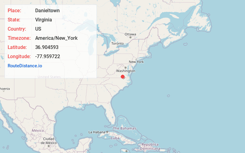
Full AddressDanieltown, VA 23821
-
Coordinates36.9045925, -77.9597223
-
LocationVirginia , US
-
TimezoneAmerica/New_York
-
Current Local Time1:47:32 PM America/New_YorkTuesday, July 1, 2025
-
Page Views0
About Danieltown
Danieltown is an unincorporated community in Brunswick County, in the U.S. state of Virginia.
Nearby Places
Found 10 places within 50 miles

Dundas
3.5 mi
5.6 km
Dundas, VA 23938
Get directions
Alberta
4.9 mi
7.9 km
Alberta, VA
Get directions
Cochran
5.2 mi
8.4 km
Cochran, Alberta, VA 23821
Get directions

Warfield
7.4 mi
11.9 km
Warfield, VA 23889
Get directions
Sturgeonville
8.3 mi
13.4 km
Sturgeonville, VA 23889
Get directions
Naptha
8.4 mi
13.5 km
Naptha, VA 23843
Get directions
Irby
9.9 mi
15.9 km
Irby, VA 23824
Get directions

Kenbridge
10.0 mi
16.1 km
Kenbridge, VA 23944
Get directions

Forksville
11.6 mi
18.7 km
Forksville, VA 23950
Get directions

Lawrenceville
11.9 mi
19.2 km
Lawrenceville, VA 23868
Get directions
Location Links
Local Weather
Weather Information
Coming soon!
Location Map
Static map view of Danieltown, Virginia
Browse Places by Distance
Places within specific distances from Danieltown
Short Distances
Long Distances
Click any distance to see all places within that range from Danieltown. Distances shown in miles (1 mile ≈ 1.61 kilometers).