Distance to Delta, Mississippi

Calculating Your Route
Just a moment while we process your request...
Location Information
-
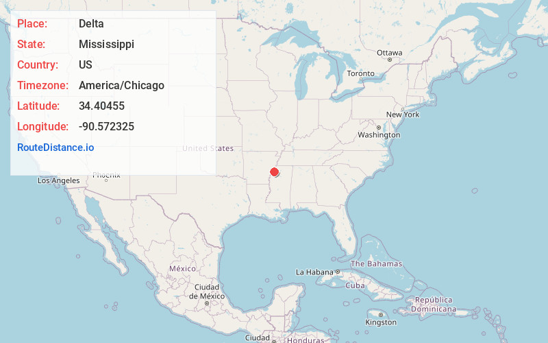
Full AddressDelta, MS 38626
-
Coordinates34.4045495, -90.572325
-
LocationMississippi , US
-
TimezoneAmerica/Chicago
-
Current Local Time10:25:20 AM America/ChicagoSunday, June 8, 2025
-
Page Views0
About Delta
Delta is a ghost town in Coahoma County, Mississippi, United States. During its heyday in the 1830s to the 1850s it was the county "seat of justice" and had some commercial significance due to its location on the Yazoo Pass connection from the Mississippi River to inland waterways.
Nearby Places
Found 10 places within 50 miles

Coahoma
3.8 mi
6.1 km
Coahoma, MS 38617
Get directions

Friars Point
4.5 mi
7.2 km
Friars Point, MS 38631
Get directions
Sessions
5.5 mi
8.9 km
Sessions, MS 38614
Get directions

Lula
6.3 mi
10.1 km
Lula, MS 38644
Get directions

Helena-West Helena
8.7 mi
14.0 km
Helena-West Helena, AR
Get directions
Jonestown
8.9 mi
14.3 km
Jonestown, MS 38645
Get directions

Dundee
10.6 mi
17.1 km
Dundee, MS 38626
Get directions
Farrell
11.2 mi
18.0 km
Farrell, MS 38614
Get directions

Oneida
12.6 mi
20.3 km
Oneida, AR 72355
Get directions

Lyon
13.0 mi
20.9 km
Lyon, MS
Get directions
Location Links
Local Weather
Weather Information
Coming soon!
Location Map
Static map view of Delta, Mississippi
Browse Places by Distance
Places within specific distances from Delta
Short Distances
Long Distances
Click any distance to see all places within that range from Delta. Distances shown in miles (1 mile ≈ 1.61 kilometers).