Distance to Devens, Massachusetts

Calculating Your Route
Just a moment while we process your request...
Location Information
-
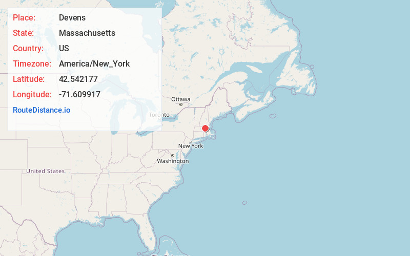
Full AddressDevens, MA
-
Coordinates42.5421774, -71.609917
-
NeighborhoodDevens
-
LocationDevens , Massachusetts , US
-
TimezoneAmerica/New_York
-
Current Local Time11:00:46 AM America/New_YorkSaturday, May 31, 2025
-
Page Views0
About Devens
Devens is a regional enterprise zone and census-designated place in the towns of Ayer and Shirley and Harvard in the U.S. state of Massachusetts. It is the successor to Fort Devens, a military post that operated from 1917 to 1996. The population was 1,697 at the 2020 census, down from 1,840 in 2010.


Nearby Places
Found 10 places within 50 miles

Ayer
1.6 mi
2.6 km
Ayer, MA
Get directions

Shirley
2.0 mi
3.2 km
Shirley, MA
Get directions

Harvard
3.2 mi
5.1 km
Harvard, MA
Get directions

Littleton
5.0 mi
8.0 km
Littleton, MA
Get directions

Groton
5.0 mi
8.0 km
Groton, MA
Get directions

Boxborough
6.2 mi
10.0 km
Boxborough, MA 01719
Get directions

Lancaster
6.9 mi
11.1 km
Lancaster, MA
Get directions

Bolton
7.5 mi
12.1 km
Bolton, MA
Get directions

Lunenburg
7.7 mi
12.4 km
Lunenburg, MA 01462
Get directions

Leominster
7.7 mi
12.4 km
Leominster, MA
Get directions
Location Links
Local Weather
Weather Information
Coming soon!
Location Map
Static map view of Devens, Massachusetts
Browse Places by Distance
Places within specific distances from Devens
Short Distances
Long Distances
Click any distance to see all places within that range from Devens. Distances shown in miles (1 mile ≈ 1.61 kilometers).