Distance to Dillons Mill, Virginia

Calculating Your Route
Just a moment while we process your request...
Location Information
-
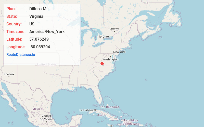
Full AddressDillons Mill, VA 24065
-
Coordinates37.0762487, -80.0392038
-
LocationVirginia , US
-
TimezoneAmerica/New_York
-
Current Local Time3:35:15 AM America/New_YorkMonday, June 23, 2025
-
Page Views0
Nearby Places
Found 10 places within 50 miles

Algoma
3.0 mi
4.8 km
Algoma, VA 24067
Get directions

Callaway
4.5 mi
7.2 km
Callaway, VA 24067
Get directions
Dugwell
5.1 mi
8.2 km
Dugwell, VA 24151
Get directions
Naff
5.2 mi
8.4 km
Naff, VA 24065
Get directions
Copper Hill
5.3 mi
8.5 km
Copper Hill, VA 24079
Get directions

Boones Mill
5.4 mi
8.7 km
Boones Mill, VA 24065
Get directions

Bent Mountain
6.3 mi
10.1 km
Bent Mountain, VA 24059
Get directions
Gogginsville
6.7 mi
10.8 km
Gogginsville, VA 24151
Get directions
Wright
7.1 mi
11.4 km
Wright, VA 24065
Get directions
Taylor
7.6 mi
12.2 km
Taylor, VA 24065
Get directions
Location Links
Local Weather
Weather Information
Coming soon!
Location Map
Static map view of Dillons Mill, Virginia
Browse Places by Distance
Places within specific distances from Dillons Mill
Short Distances
Long Distances
Click any distance to see all places within that range from Dillons Mill. Distances shown in miles (1 mile ≈ 1.61 kilometers).