Distance to Dodge City, Alabama

Calculating Your Route
Just a moment while we process your request...
Location Information
-
Full AddressDodge City, AL
-
Coordinates34.0406562, -86.8858343
-
LocationDodge City , Alabama , US
-
TimezoneAmerica/Chicago
-
Current Local Time10:25:39 AM America/ChicagoWednesday, June 4, 2025
-
Page Views0
About Dodge City
Dodge City is a town in Cullman County, Alabama, United States. At the 2020 census, the population was 548. It was incorporated in 1993.
Nearby Places
Found 10 places within 50 miles

Good Hope
5.5 mi
8.9 km
Good Hope, AL
Get directions

Hanceville
6.9 mi
11.1 km
Hanceville, AL 35077
Get directions

Garden City
8.2 mi
13.2 km
Garden City, AL
Get directions

Cullman
9.6 mi
15.4 km
Cullman, AL
Get directions
Smoke Rise
11.0 mi
17.7 km
Smoke Rise, AL 35180
Get directions
Hayden
12.6 mi
20.3 km
Hayden, AL
Get directions
South Vinemont
13.8 mi
22.2 km
South Vinemont, AL
Get directions
West Point
14.3 mi
23.0 km
West Point, AL
Get directions

Warrior
16.2 mi
26.1 km
Warrior, AL
Get directions

Blountsville
17.1 mi
27.5 km
Blountsville, AL 35031
Get directions
Location Links
Local Weather
Weather Information
Coming soon!
Location Map
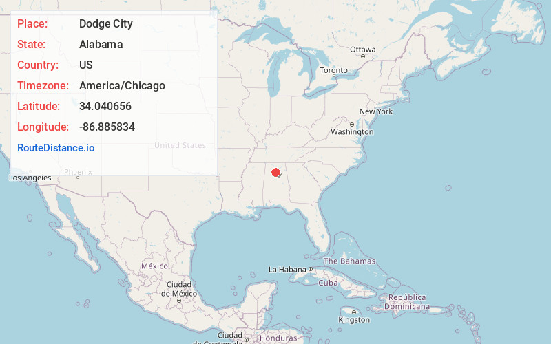
Static map view of Dodge City, Alabama
Browse Places by Distance
Places within specific distances from Dodge City
Short Distances
Long Distances
Click any distance to see all places within that range from Dodge City. Distances shown in miles (1 mile ≈ 1.61 kilometers).