Distance to Drake, Arizona

Calculating Your Route
Just a moment while we process your request...
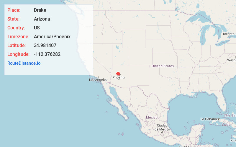
Location Information
-
Full AddressDrake, AZ 86334
-
Coordinates34.9814072, -112.376282
-
LocationArizona , US
-
TimezoneAmerica/Phoenix
-
Current Local Time3:21:28 AM America/PhoenixSaturday, June 21, 2025
-
Page Views0
About Drake
Drake was an unincorporated community on the Verde River in Yavapai County, Arizona, United States, and a station on the BNSF Railway's Phoenix Subdivision. Drake is also the junction and western terminus of the Verde Canyon Railroad.


Nearby Places
Found 10 places within 50 miles

Paulden
8.4 mi
13.5 km
Paulden, AZ
Get directions

Chino Valley
16.1 mi
25.9 km
Chino Valley, AZ
Get directions

Ash Fork
17.9 mi
28.8 km
Ash Fork, AZ 86320
Get directions

Corva
20.4 mi
32.8 km
Corva, AZ 86046
Get directions

Williams
21.3 mi
34.3 km
Williams, AZ 86046
Get directions

Jerome
21.9 mi
35.2 km
Jerome, AZ 86331
Get directions

Williamson
22.2 mi
35.7 km
Williamson, AZ
Get directions
Stringfield
22.3 mi
35.9 km
Stringfield, Williamson, AZ 86305
Get directions

Clarkdale
23.2 mi
37.3 km
Clarkdale, AZ
Get directions
Pine Tank
25.1 mi
40.4 km
Pine Tank, Parks, AZ 86046
Get directions
Location Links
Local Weather
Weather Information
Coming soon!
Location Map
Static map view of Drake, Arizona
Browse Places by Distance
Places within specific distances from Drake
Short Distances
Long Distances
Click any distance to see all places within that range from Drake. Distances shown in miles (1 mile ≈ 1.61 kilometers).