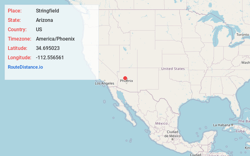
Distance to Stringfield, Arizona

Calculating Your Route
Just a moment while we process your request...
Location Information
-
Full AddressStringfield, Williamson, AZ 86305
-
Coordinates34.695023, -112.5565613
-
LocationWilliamson , Arizona , US
-
TimezoneAmerica/Phoenix
-
Current Local Time4:57:14 PM America/PhoenixSunday, June 22, 2025
-
Page Views0
Nearby Places
Found 10 places within 50 miles

Williamson
0.9 mi
1.4 km
Williamson, AZ
Get directions

Chino Valley
7.3 mi
11.7 km
Chino Valley, AZ
Get directions

Iron Springs
7.7 mi
12.4 km
Iron Springs, AZ 86305
Get directions

Prescott
11.9 mi
19.2 km
Prescott, AZ
Get directions

Paulden
14.1 mi
22.7 km
Paulden, AZ
Get directions

Prescott Valley
14.9 mi
24.0 km
Prescott Valley, AZ
Get directions

Wilhoit
18.7 mi
30.1 km
Wilhoit, AZ 86332
Get directions

Potato Patch
19.8 mi
31.9 km
Potato Patch, AZ 86303
Get directions

Dewey-Humboldt
22.1 mi
35.6 km
Dewey-Humboldt, AZ
Get directions

Grapevine Creek
22.9 mi
36.9 km
Grapevine Creek, Arizona 86333
Get directions
Location Links
Local Weather
Weather Information
Coming soon!
Location Map
Static map view of Stringfield, Arizona
Browse Places by Distance
Places within specific distances from Stringfield
Short Distances
Long Distances
Click any distance to see all places within that range from Stringfield. Distances shown in miles (1 mile ≈ 1.61 kilometers).