Distance to Drasco, Arkansas

Calculating Your Route
Just a moment while we process your request...
Location Information
-
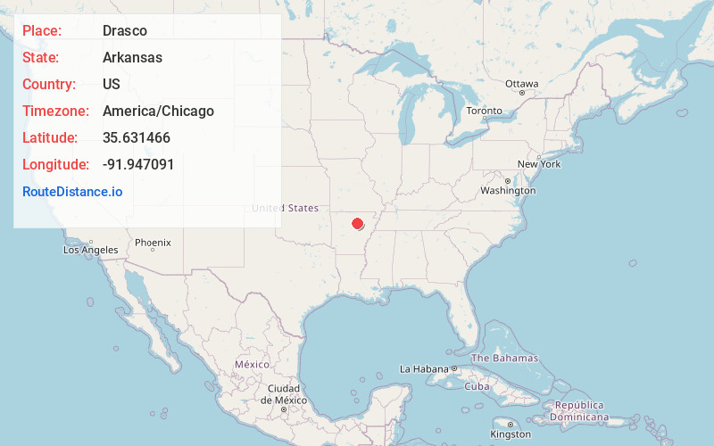
Full AddressDrasco, AR 72530
-
Coordinates35.6314661, -91.9470914
-
LocationDrasco , Arkansas , US
-
TimezoneAmerica/Chicago
-
Current Local Time8:12:03 PM America/ChicagoThursday, May 29, 2025
-
Page Views0
About Drasco
Drasco is an unincorporated community and census-designated place in Cleburne County, Arkansas, United States, with a ZIP code of 72530. Drasco lies just northeast of Greers Ferry Lake and includes the lakeside community of Tannenbaum.
It was first listed as a CDP in the 2020 census with a population of 144.


Nearby Places
Found 10 places within 50 miles

Tumbling Shoals
6.3 mi
10.1 km
Tumbling Shoals, AR
Get directions
Wilburn
9.2 mi
14.8 km
Wilburn, AR
Get directions

Heber Springs
10.7 mi
17.2 km
Heber Springs, AR 72543
Get directions

Pleasant Grove
13.0 mi
20.9 km
Pleasant Grove, AR
Get directions

Greers Ferry
13.6 mi
21.9 km
Greers Ferry, AR 72067
Get directions

Pangburn
15.5 mi
24.9 km
Pangburn, AR 72121
Get directions
Desha
16.7 mi
26.9 km
Desha, AR
Get directions

Fairfield Bay
17.8 mi
28.6 km
Fairfield Bay, AR
Get directions
Southside
18.8 mi
30.3 km
Southside, AR 72501
Get directions

Mountain View
19.0 mi
30.6 km
Mountain View, AR 72560
Get directions
Location Links
Local Weather
Weather Information
Coming soon!
Location Map
Static map view of Drasco, Arkansas
Browse Places by Distance
Places within specific distances from Drasco
Short Distances
Long Distances
Click any distance to see all places within that range from Drasco. Distances shown in miles (1 mile ≈ 1.61 kilometers).