Distance to Drigger Crossroads, South Carolina

Calculating Your Route
Just a moment while we process your request...
Location Information
-
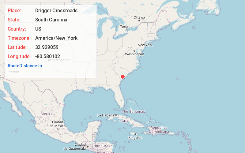
Full AddressDrigger Crossroads, SC 29488
-
Coordinates32.9290594, -80.5801019
-
LocationSouth Carolina , US
-
TimezoneAmerica/New_York
-
Current Local Time9:37:58 AM America/New_YorkFriday, June 20, 2025
-
Page Views0
Nearby Places
Found 10 places within 50 miles

Round O
2.4 mi
3.9 km
Round O, SC 29474
Get directions

Burr Hill
3.9 mi
6.3 km
Burr Hill, SC 29435
Get directions

Walterboro
5.3 mi
8.5 km
Walterboro, SC 29488
Get directions
Pringle Bend
5.6 mi
9.0 km
Pringle Bend, SC 29488
Get directions

Cottageville
5.8 mi
9.3 km
Cottageville, SC 29435
Get directions
Drawdy
6.2 mi
10.0 km
Drawdy, SC 29488
Get directions
Iron Crossroads
6.6 mi
10.6 km
Iron Crossroads, SC 29474
Get directions
Neyles
7.3 mi
11.7 km
Neyles, SC 29488
Get directions
Rhodes Crossroads
7.8 mi
12.6 km
Rhodes Crossroads, SC 29488
Get directions
Stokes
8.7 mi
14.0 km
Stokes, SC 29488
Get directions
Location Links
Local Weather
Weather Information
Coming soon!
Location Map
Static map view of Drigger Crossroads, South Carolina
Browse Places by Distance
Places within specific distances from Drigger Crossroads
Short Distances
Long Distances
Click any distance to see all places within that range from Drigger Crossroads. Distances shown in miles (1 mile ≈ 1.61 kilometers).