Distance to Round O, South Carolina

Calculating Your Route
Just a moment while we process your request...
Location Information
-
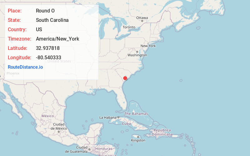
Full AddressRound O, SC 29474
-
Coordinates32.9378183, -80.5403325
-
LocationRound O , South Carolina , US
-
TimezoneAmerica/New_York
-
Current Local Time4:04:27 AM America/New_YorkFriday, May 23, 2025
-
Page Views0
About Round O
Round O is an unincorporated community in Colleton County, South Carolina, United States. The population of Round O is 2,136 people. Its elevation is 36 feet. It is located near the intersection of Cottageville Highway and Round O Road.


Nearby Places
Found 10 places within 50 miles

Cottageville
3.4 mi
5.5 km
Cottageville, SC 29435
Get directions

Iron Crossroads
5.4 mi
8.7 km
Iron Crossroads, SC 29474
Get directions
Pringle Bend
6.8 mi
10.9 km
Pringle Bend, SC 29488
Get directions

Walterboro
7.7 mi
12.4 km
Walterboro, SC 29488
Get directions
Drawdy
7.9 mi
12.7 km
Drawdy, SC 29488
Get directions
Lowndes Landing
9.3 mi
15.0 km
Lowndes Landing, SC 29426
Get directions
Canadys
9.4 mi
15.1 km
Canadys, SC 29488
Get directions
Holly Ridge
9.5 mi
15.3 km
Holly Ridge, SC 29435
Get directions
Rhodes Crossroads
9.9 mi
15.9 km
Rhodes Crossroads, SC 29488
Get directions
Stokes
10.8 mi
17.4 km
Stokes, SC 29488
Get directions
Location Links
Local Weather
Weather Information
Coming soon!
Location Map
Static map view of Round O, South Carolina
Browse Places by Distance
Places within specific distances from Round O
Short Distances
Long Distances
Click any distance to see all places within that range from Round O. Distances shown in miles (1 mile ≈ 1.61 kilometers).