Distance to Durham, Missouri

Calculating Your Route
Just a moment while we process your request...
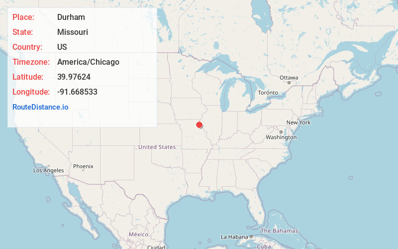
Location Information
-
Full AddressDurham, MO 63438
-
Coordinates39.9762395, -91.668533
-
LocationDurham , Missouri , US
-
TimezoneAmerica/Chicago
-
Current Local Time6:54:25 AM America/ChicagoSunday, June 22, 2025
-
Page Views0
About Durham
Durham is an unincorporated community in southern Lewis County, Missouri, United States. It is located on Route 6, approximately ten miles southwest of La Grange. Durham is part of the Quincy, IL–MO Micropolitan Statistical Area.
A post office called Durham has been in operation since 1872.
Nearby Places
Found 10 places within 50 miles

Ewing
3.2 mi
5.1 km
Ewing, MO 63440
Get directions
Naomi
3.7 mi
6.0 km
Naomi, MO 63438
Get directions

Maywood
3.9 mi
6.3 km
Maywood, MO 63454
Get directions
Emerson
6.2 mi
10.0 km
Emerson, Round Grove Township, MO 63454
Get directions
Sellers
6.2 mi
10.0 km
Sellers, Dickerson Township, MO 63452
Get directions
Nelsonville
7.6 mi
12.2 km
Nelsonville, MO 63440
Get directions
Monticello
10.1 mi
16.3 km
Monticello, MO 63457
Get directions

La Grange
10.1 mi
16.3 km
La Grange, MO 63448
Get directions
Philadelphia
10.2 mi
16.4 km
Philadelphia, MO 63463
Get directions
Lewistown
10.8 mi
17.4 km
Lewistown, MO 63452
Get directions
Location Links
Local Weather
Weather Information
Coming soon!
Location Map
Static map view of Durham, Missouri
Browse Places by Distance
Places within specific distances from Durham
Short Distances
Long Distances
Click any distance to see all places within that range from Durham. Distances shown in miles (1 mile ≈ 1.61 kilometers).