Distance to Lewistown, Missouri

Calculating Your Route
Just a moment while we process your request...
Location Information
-
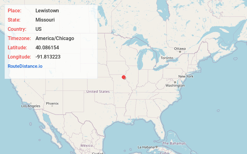
Full AddressLewistown, MO 63452
-
Coordinates40.086154, -91.8132225
-
LocationLewistown , Missouri , US
-
TimezoneAmerica/Chicago
-
Current Local Time5:42:04 PM America/ChicagoWednesday, June 18, 2025
-
Page Views0
About Lewistown
Lewistown is a city in Lewis County, Missouri, United States. The population was 521 at the 2020 census. It is part of the Quincy, IL–MO Micropolitan Statistical Area. It is located on Missouri Route 6 near the junction of Route 6 with Missouri Route 16. Lewistown is in the Lewis County C-1 school district.
Nearby Places
Found 10 places within 50 miles

La Belle
5.7 mi
9.2 km
La Belle, MO 63447
Get directions
Ewing
7.6 mi
12.2 km
Ewing, MO 63440
Get directions

Canton
15.9 mi
25.6 km
Canton, MO 63435
Get directions

La Grange
17.0 mi
27.4 km
La Grange, MO 63448
Get directions

Edina
19.8 mi
31.9 km
Edina, MO 63537
Get directions
Shelbyville
22.8 mi
36.7 km
Shelbyville, MO 63469
Get directions

Ursa
23.6 mi
38.0 km
Ursa, IL 62376
Get directions

Kahoka
23.6 mi
38.0 km
Kahoka, MO 63445
Get directions

Quincy
23.7 mi
38.1 km
Quincy, IL
Get directions

Wayland
24.5 mi
39.4 km
Wayland, MO 63472
Get directions
Location Links
Local Weather
Weather Information
Coming soon!
Location Map
Static map view of Lewistown, Missouri
Browse Places by Distance
Places within specific distances from Lewistown
Short Distances
Long Distances
Click any distance to see all places within that range from Lewistown. Distances shown in miles (1 mile ≈ 1.61 kilometers).