Distance to Monticello, Missouri

Calculating Your Route
Just a moment while we process your request...
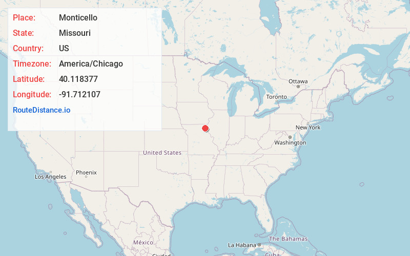
Location Information
-
Full AddressMonticello, MO 63457
-
Coordinates40.118377, -91.7121073
-
LocationMonticello , Missouri , US
-
TimezoneAmerica/Chicago
-
Current Local Time12:46:09 PM America/ChicagoMonday, June 16, 2025
-
Page Views0
About Monticello
Monticello is a rural village in, and county seat of, Lewis County, Missouri, United States, along the North Fabius River. The population was 104 at the 2020 census, and according to this census, Monticello is the county seat with the smallest population in the State of Missouri.
Nearby Places
Found 10 places within 50 miles

Lewistown
5.8 mi
9.3 km
Lewistown, MO 63452
Get directions
Ewing
7.8 mi
12.6 km
Ewing, MO 63440
Get directions

Canton
10.2 mi
16.4 km
Canton, MO 63435
Get directions
La Belle
10.6 mi
17.1 km
La Belle, MO 63447
Get directions

La Grange
12.5 mi
20.1 km
La Grange, MO 63448
Get directions

Ursa
18.5 mi
29.8 km
Ursa, IL 62376
Get directions

Wayland
20.3 mi
32.7 km
Wayland, MO 63472
Get directions

Quincy
20.4 mi
32.8 km
Quincy, IL
Get directions

Kahoka
20.9 mi
33.6 km
Kahoka, MO 63445
Get directions
Warsaw
22.2 mi
35.7 km
Warsaw, IL 62379
Get directions
Location Links
Local Weather
Weather Information
Coming soon!
Location Map
Static map view of Monticello, Missouri
Browse Places by Distance
Places within specific distances from Monticello
Short Distances
Long Distances
Click any distance to see all places within that range from Monticello. Distances shown in miles (1 mile ≈ 1.61 kilometers).