Distance to Dwight Mission, Oklahoma

Calculating Your Route
Just a moment while we process your request...
Location Information
-
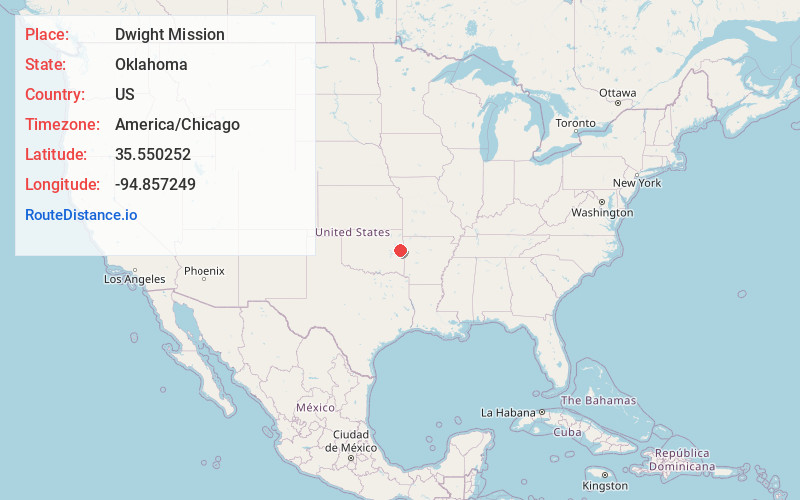
Full AddressDwight Mission, OK
-
Coordinates35.550252, -94.8572493
-
LocationDwight Mission , Oklahoma , US
-
TimezoneAmerica/Chicago
-
Current Local Time4:32:42 PM America/ChicagoFriday, June 20, 2025
-
Page Views0
About Dwight Mission
Dwight Mission is a census-designated place in Sequoyah County, Oklahoma, United States. It is part of the Fort Smith, Arkansas-Oklahoma Metropolitan Statistical Area. The population was 55 at the 2010 census, a 71.9 percent gain over the figure of 32 recorded in 2000.

Nearby Places
Found 10 places within 50 miles

Pinhook Corners
1.8 mi
2.9 km
Pinhook Corners, OK 74962
Get directions
Marble City
2.9 mi
4.7 km
Marble City, OK 74945
Get directions
Flute Springs
5.6 mi
9.0 km
Flute Springs, OK
Get directions
Evening Shade
6.5 mi
10.5 km
Evening Shade, OK
Get directions
Blackgum Mountain
6.9 mi
11.1 km
Blackgum Mountain, Evening Shade, OK 74962
Get directions
Box
7.0 mi
11.3 km
Box, OK 74962
Get directions

Vian
7.3 mi
11.7 km
Vian, OK 74962
Get directions

Sallisaw
7.3 mi
11.7 km
Sallisaw, OK 74955
Get directions

Brushy
7.4 mi
11.9 km
Brushy, OK 74955
Get directions
Redbird Smith
9.2 mi
14.8 km
Redbird Smith, OK
Get directions
Location Links
Local Weather
Weather Information
Coming soon!
Location Map
Static map view of Dwight Mission, Oklahoma
Browse Places by Distance
Places within specific distances from Dwight Mission
Short Distances
Long Distances
Click any distance to see all places within that range from Dwight Mission. Distances shown in miles (1 mile ≈ 1.61 kilometers).