Distance to Eagle Furnace, Virginia

Calculating Your Route
Just a moment while we process your request...
Location Information
-
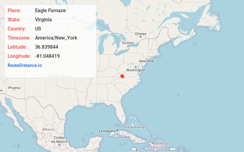
Full AddressEagle Furnace, VA 24350
-
Coordinates36.8398441, -81.0484193
-
LocationVirginia , US
-
TimezoneAmerica/New_York
-
Current Local Time4:46:07 AM America/New_YorkWednesday, June 18, 2025
-
Page Views0
About Eagle Furnace
Eagle Furnace is an unincorporated community in Wythe County, Virginia, United States.
Nearby Places
Found 10 places within 50 miles

Ivanhoe
4.5 mi
7.2 km
Ivanhoe, VA 24350
Get directions

Austinville
7.6 mi
12.2 km
Austinville, VA 24312
Get directions

Wytheville
7.8 mi
12.6 km
Wytheville, VA 24382
Get directions

Stevens Creek
8.2 mi
13.2 km
Stevens Creek, VA 24330
Get directions

Fort Chiswell
9.1 mi
14.6 km
Fort Chiswell, VA
Get directions

Fries
9.4 mi
15.1 km
Fries, VA
Get directions

Max Meadows
10.5 mi
16.9 km
Max Meadows, VA
Get directions

Rural Retreat
13.1 mi
21.1 km
Rural Retreat, VA
Get directions

Galax
14.1 mi
22.7 km
Galax, VA 24333
Get directions

Woodlawn
14.9 mi
24.0 km
Woodlawn, VA
Get directions
Location Links
Local Weather
Weather Information
Coming soon!
Location Map
Static map view of Eagle Furnace, Virginia
Browse Places by Distance
Places within specific distances from Eagle Furnace
Short Distances
Long Distances
Click any distance to see all places within that range from Eagle Furnace. Distances shown in miles (1 mile ≈ 1.61 kilometers).