Distance to Fort Chiswell, Virginia

Calculating Your Route
Just a moment while we process your request...
Location Information
-
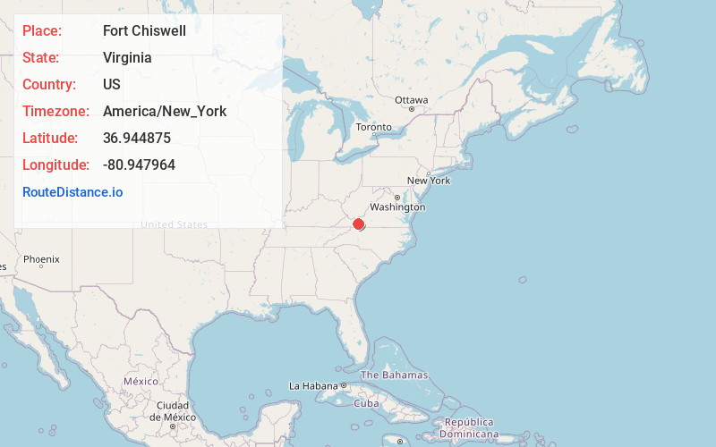
Full AddressFort Chiswell, VA
-
Coordinates36.9448754, -80.9479643
-
LocationFort Chiswell , Virginia , US
-
TimezoneAmerica/New_York
-
Current Local Time11:05:17 PM America/New_YorkTuesday, June 3, 2025
-
Page Views0
About Fort Chiswell
Fort Chiswell is a census-designated place in Wythe County, Virginia, United States. The population was 939 at the 2010 census.
Fort Chiswell is located at the junction of Interstates 77 and 81. Going west from Fort Chiswell, drivers find themselves on a double wrong-way concurrency - one of few in the nation.


Nearby Places
Found 10 places within 50 miles

Wytheville
7.6 mi
12.2 km
Wytheville, VA 24382
Get directions

Pulaski
11.7 mi
18.8 km
Pulaski, VA 24301
Get directions

Woodlawn
16.9 mi
27.2 km
Woodlawn, VA
Get directions

Hillsville
17.2 mi
27.7 km
Hillsville, VA 24343
Get directions

Dublin
18.3 mi
29.5 km
Dublin, VA 24084
Get directions

Rural Retreat
18.5 mi
29.8 km
Rural Retreat, VA
Get directions

Galax
19.6 mi
31.5 km
Galax, VA 24333
Get directions

Radford
24.2 mi
38.9 km
Radford, VA
Get directions

Fairlawn
24.8 mi
39.9 km
Fairlawn, VA 24141
Get directions

Independence
25.0 mi
40.2 km
Independence, VA 24348
Get directions
Location Links
Local Weather
Weather Information
Coming soon!
Location Map
Static map view of Fort Chiswell, Virginia
Browse Places by Distance
Places within specific distances from Fort Chiswell
Short Distances
Long Distances
Click any distance to see all places within that range from Fort Chiswell. Distances shown in miles (1 mile ≈ 1.61 kilometers).