Distance to Ivanhoe, Virginia

Calculating Your Route
Just a moment while we process your request...
Location Information
-
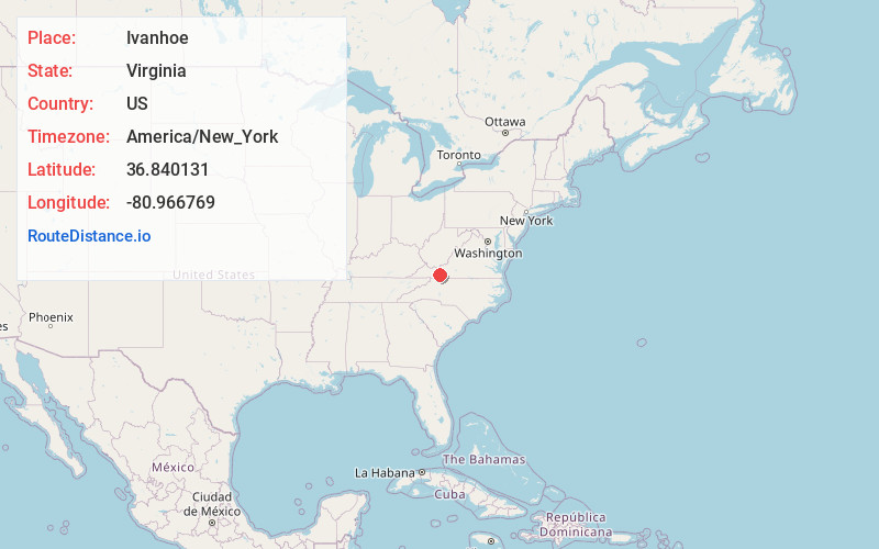
Full AddressIvanhoe, VA 24350
-
Coordinates36.8401308, -80.9667689
-
LocationIvanhoe , Virginia , US
-
TimezoneAmerica/New_York
-
Current Local Time11:40:59 PM America/New_YorkMonday, June 2, 2025
-
Page Views0
About Ivanhoe
Ivanhoe is a census-designated place in southern Wythe County, Virginia, United States, that straddles the border of Wythe and Carroll counties. The population as of the 2010 Census was 551. Ivanhoe is situated in the Appalachian Mountains along New River, and New River Trail State Park passes through Ivanhoe.


Nearby Places
Found 10 places within 50 miles

Fort Chiswell
7.3 mi
11.7 km
Fort Chiswell, VA
Get directions

Wytheville
9.9 mi
15.9 km
Wytheville, VA 24382
Get directions

Woodlawn
11.4 mi
18.3 km
Woodlawn, VA
Get directions

Galax
12.6 mi
20.3 km
Galax, VA 24333
Get directions

Hillsville
13.9 mi
22.4 km
Hillsville, VA 24343
Get directions

Rural Retreat
17.5 mi
28.2 km
Rural Retreat, VA
Get directions

Pulaski
17.7 mi
28.5 km
Pulaski, VA 24301
Get directions

Independence
18.2 mi
29.3 km
Independence, VA 24348
Get directions

Cana
23.8 mi
38.3 km
Cana, VA 24317
Get directions

Dublin
24.0 mi
38.6 km
Dublin, VA 24084
Get directions
Location Links
Local Weather
Weather Information
Coming soon!
Location Map
Static map view of Ivanhoe, Virginia
Browse Places by Distance
Places within specific distances from Ivanhoe
Short Distances
Long Distances
Click any distance to see all places within that range from Ivanhoe. Distances shown in miles (1 mile ≈ 1.61 kilometers).