Distance to Eagle, Michigan

Calculating Your Route
Just a moment while we process your request...
Location Information
-
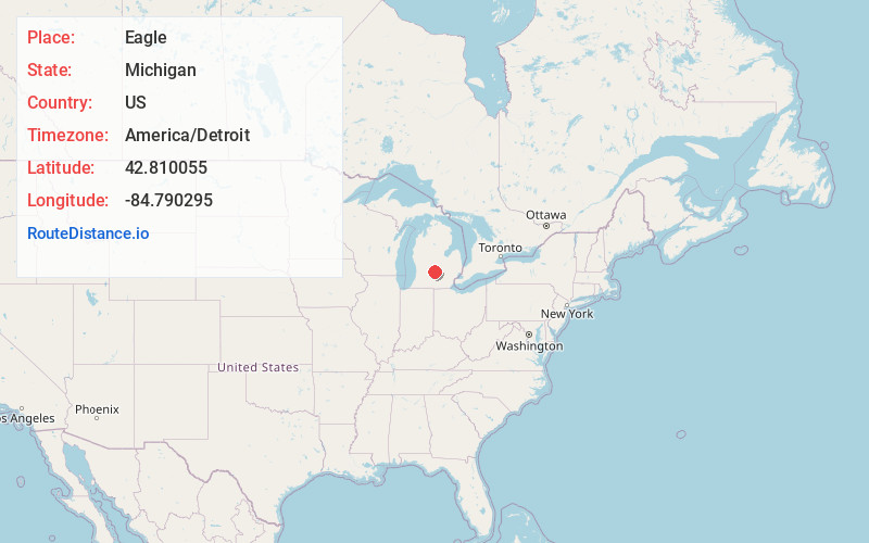
Full AddressEagle, MI 48822
-
Coordinates42.810055, -84.7902953
-
LocationEagle , Michigan , US
-
TimezoneAmerica/Detroit
-
Current Local Time10:59:35 AM America/DetroitSaturday, May 31, 2025
-
Page Views0
About Eagle
Eagle is a village in southwest Clinton County in the U.S. state of Michigan. The population was 122 at the 2020 census. The village is within Eagle Township in the southwest corner of the county. It is near Interstate 96 about 15 miles northwest of Lansing.


Nearby Places
Found 10 places within 50 miles

Grand Ledge
4.5 mi
7.2 km
Grand Ledge, MI 48837
Get directions

Wacousta
4.7 mi
7.6 km
Wacousta, MI 48822
Get directions
Mulliken
6.3 mi
10.1 km
Mulliken, MI 48861
Get directions

Portland
7.2 mi
11.6 km
Portland, MI 48875
Get directions
Westphalia
8.3 mi
13.4 km
Westphalia, MI 48894
Get directions
Waverly
9.8 mi
15.8 km
Waverly, MI 48917
Get directions

Sunfield
10.8 mi
17.4 km
Sunfield, MI 48890
Get directions
Edgemont Park
10.9 mi
17.5 km
Edgemont Park, MI 48917
Get directions

DeWitt
11.4 mi
18.3 km
DeWitt, MI 48820
Get directions

Potterville
12.8 mi
20.6 km
Potterville, MI
Get directions
Location Links
Local Weather
Weather Information
Coming soon!
Location Map
Static map view of Eagle, Michigan
Browse Places by Distance
Places within specific distances from Eagle
Short Distances
Long Distances
Click any distance to see all places within that range from Eagle. Distances shown in miles (1 mile ≈ 1.61 kilometers).