Distance to East Westmoreland, New Hampshire

Calculating Your Route
Just a moment while we process your request...
Location Information
-
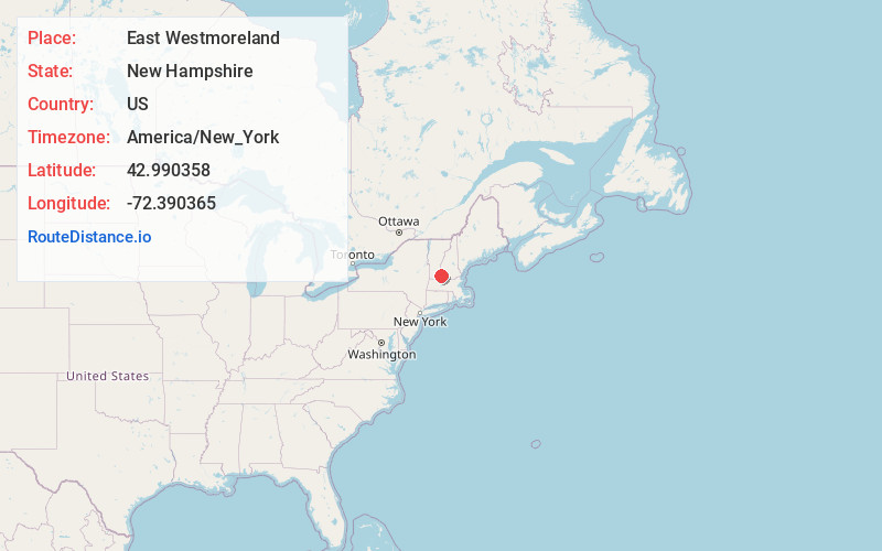
Full AddressEast Westmoreland, Westmoreland, NH 03467
-
Coordinates42.9903582, -72.390365
-
LocationWestmoreland , New Hampshire , US
-
TimezoneAmerica/New_York
-
Current Local Time5:48:05 PM America/New_YorkWednesday, June 18, 2025
-
Page Views0
Nearby Places
Found 10 places within 50 miles

Christian Hollow
3.2 mi
5.1 km
Christian Hollow, Walpole, NH 03608
Get directions

Westmoreland
3.3 mi
5.3 km
Westmoreland, NH
Get directions
Surry
4.0 mi
6.4 km
Surry, NH
Get directions

Westminster
6.4 mi
10.3 km
Westminster, VT
Get directions

Walpole
6.4 mi
10.3 km
Walpole, NH
Get directions

Putney
6.7 mi
10.8 km
Putney, VT 05346
Get directions

Chesterfield
6.7 mi
10.8 km
Chesterfield, NH
Get directions

Keene
6.9 mi
11.1 km
Keene, NH
Get directions
Gilsum
7.6 mi
12.2 km
Gilsum, NH
Get directions
Sullivan
8.7 mi
14.0 km
Sullivan, NH
Get directions
Location Links
Local Weather
Weather Information
Coming soon!
Location Map
Static map view of East Westmoreland, New Hampshire
Browse Places by Distance
Places within specific distances from East Westmoreland
Short Distances
Long Distances
Click any distance to see all places within that range from East Westmoreland. Distances shown in miles (1 mile ≈ 1.61 kilometers).