Distance to Eaton, New Hampshire

Calculating Your Route
Just a moment while we process your request...
Location Information
-
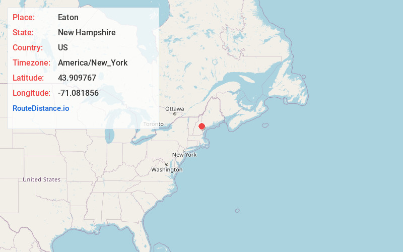
Full AddressEaton, NH
-
Coordinates43.9097668, -71.0818562
-
LocationEaton , New Hampshire , US
-
TimezoneAmerica/New_York
-
Current Local Time3:15:00 PM America/New_YorkSunday, June 1, 2025
-
Page Views0
About Eaton
Eaton is a town in Carroll County, New Hampshire, United States. The population was 405 at the 2020 census. Eaton includes the villages of Eaton Center and Snowville.


Nearby Places
Found 10 places within 50 miles

Madison
3.4 mi
5.5 km
Madison, NH
Get directions

Conway
5.1 mi
8.2 km
Conway, NH
Get directions

Albany
6.2 mi
10.0 km
Albany, NH
Get directions

Freedom
7.0 mi
11.3 km
Freedom, NH
Get directions

Brownfield
9.4 mi
15.1 km
Brownfield, ME
Get directions

Fryeburg
9.4 mi
15.1 km
Fryeburg, ME 04037
Get directions

Tamworth
9.7 mi
15.6 km
Tamworth, NH
Get directions

Porter
10.7 mi
17.2 km
Porter, ME 04068
Get directions

Effingham
12.3 mi
19.8 km
Effingham, NH 03882
Get directions

Bartlett
13.6 mi
21.9 km
Bartlett, NH
Get directions
Location Links
Local Weather
Weather Information
Coming soon!
Location Map
Static map view of Eaton, New Hampshire
Browse Places by Distance
Places within specific distances from Eaton
Short Distances
Long Distances
Click any distance to see all places within that range from Eaton. Distances shown in miles (1 mile ≈ 1.61 kilometers).