Distance to Eau Claire, Michigan

Calculating Your Route
Just a moment while we process your request...
Location Information
-
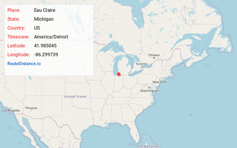
Full AddressEau Claire, MI 49111
-
Coordinates41.9850452, -86.2997387
-
LocationEau Claire , Michigan , US
-
TimezoneAmerica/Detroit
-
Current Local Time4:00:58 PM America/DetroitMonday, June 30, 2025
-
Page Views0
About Eau Claire
Eau Claire is a village located in east central Berrien County in the U.S. state of Michigan. The population was 552 at the 2020 census.
The village lies partially within Pipestone Township and partially within Berrien Charter Township.

Nearby Places
Found 10 places within 50 miles

Berrien Springs
3.3 mi
5.3 km
Berrien Springs, MI 49103
Get directions

Baroda
9.7 mi
15.6 km
Baroda, MI 49101
Get directions

Dowagiac
9.8 mi
15.8 km
Dowagiac, MI 49047
Get directions

Fair Plain
10.7 mi
17.2 km
Fair Plain, MI 49022
Get directions

Niles
11.0 mi
17.7 km
Niles, MI 49120
Get directions

Buchanan
11.3 mi
18.2 km
Buchanan, MI 49107
Get directions

Stevensville
11.5 mi
18.5 km
Stevensville, MI 49127
Get directions
Benton Heights
11.5 mi
18.5 km
Benton Heights, MI 49022
Get directions

Benton Harbor
12.1 mi
19.5 km
Benton Harbor, MI
Get directions
Shoreham
12.3 mi
19.8 km
Shoreham, MI 49085
Get directions
Location Links
Local Weather
Weather Information
Coming soon!
Location Map
Static map view of Eau Claire, Michigan
Browse Places by Distance
Places within specific distances from Eau Claire
Short Distances
Long Distances
Click any distance to see all places within that range from Eau Claire. Distances shown in miles (1 mile ≈ 1.61 kilometers).