Distance to Edgemont, Arkansas

Calculating Your Route
Just a moment while we process your request...
Location Information
-
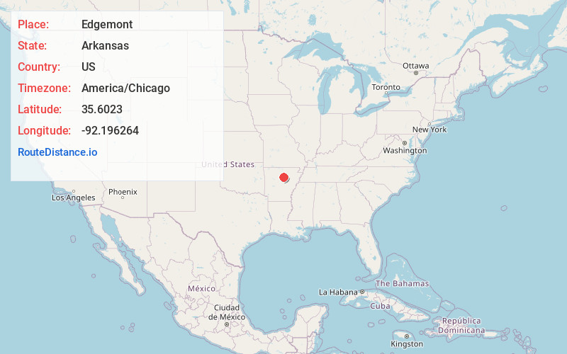
Full AddressEdgemont, AR 72044
-
Coordinates35.6022995, -92.196264
-
LocationEdgemont , Arkansas , US
-
TimezoneAmerica/Chicago
-
Current Local Time4:18:25 AM America/ChicagoWednesday, June 18, 2025
-
Page Views0
About Edgemont
Edgemont is an unincorporated community and census-designated place in Cleburne County, Arkansas, United States. Edgemont is located on the north side of Greers Ferry Lake along Arkansas Highway 16, 2 miles northwest of Greers Ferry. Edgemont has a post office with ZIP code 72044.
Nearby Places
Found 10 places within 50 miles

Higden
2.5 mi
4.0 km
Higden, AR 72067
Get directions

Greers Ferry
2.6 mi
4.2 km
Greers Ferry, AR 72067
Get directions

Fairfield Bay
3.8 mi
6.1 km
Fairfield Bay, AR
Get directions

Shirley
7.8 mi
12.6 km
Shirley, AR 72153
Get directions

Heber Springs
12.1 mi
19.5 km
Heber Springs, AR 72543
Get directions

Tumbling Shoals
13.5 mi
21.7 km
Tumbling Shoals, AR
Get directions

Drasco
14.1 mi
22.7 km
Drasco, AR 72530
Get directions
Fox
14.3 mi
23.0 km
Fox, AR
Get directions

Clinton
14.8 mi
23.8 km
Clinton, AR 72031
Get directions

Quitman
15.1 mi
24.3 km
Quitman, AR 72131
Get directions
Location Links
Local Weather
Weather Information
Coming soon!
Location Map
Static map view of Edgemont, Arkansas
Browse Places by Distance
Places within specific distances from Edgemont
Short Distances
Long Distances
Click any distance to see all places within that range from Edgemont. Distances shown in miles (1 mile ≈ 1.61 kilometers).