Distance to Edsel, Kentucky

Calculating Your Route
Just a moment while we process your request...
Location Information
-
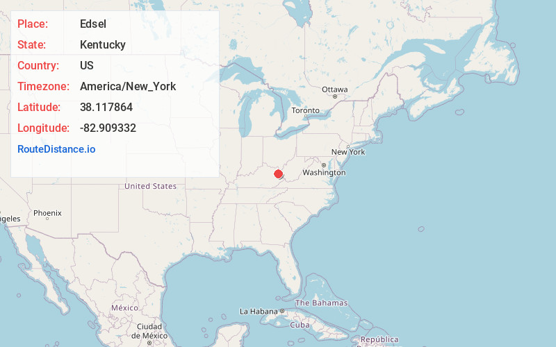
Full AddressEdsel, KY 41180
-
Coordinates38.1178636, -82.909332
-
LocationKentucky , US
-
TimezoneAmerica/New_York
-
Current Local Time8:15:32 AM America/New_YorkFriday, May 30, 2025
-
Page Views0
About Edsel
Edsel is an unincorporated community within Elliott County, Kentucky, United States. Its post office is closed.
A post office was established in the community in 1929 and it was named Edsel for the postmaster's nephew.
Nearby Places
Found 10 places within 50 miles

Fielden
2.3 mi
3.7 km
Fielden, KY 41180
Get directions
Dobbins
2.9 mi
4.7 km
Dobbins, KY 41180
Get directions
Houckville
2.9 mi
4.7 km
Houckville, KY 41180
Get directions
Blevins
3.0 mi
4.8 km
Blevins, KY 41124
Get directions
Bays Branch
3.6 mi
5.8 km
Bays Branch, Kentucky 41124
Get directions
Halcom
4.3 mi
6.9 km
Halcom, KY 41149
Get directions
Webbville
4.7 mi
7.6 km
Webbville, KY 41180
Get directions
Sarah
4.8 mi
7.7 km
Sarah, KY 41149
Get directions
Cherokee
4.8 mi
7.7 km
Cherokee, KY 41180
Get directions
Culver
5.0 mi
8.0 km
Culver, KY 41171
Get directions
Location Links
Local Weather
Weather Information
Coming soon!
Location Map
Static map view of Edsel, Kentucky
Browse Places by Distance
Places within specific distances from Edsel
Short Distances
Long Distances
Click any distance to see all places within that range from Edsel. Distances shown in miles (1 mile ≈ 1.61 kilometers).