Distance to Eglantine, Arkansas

Calculating Your Route
Just a moment while we process your request...
Location Information
-
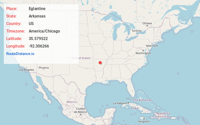
Full AddressEglantine, AR 72153
-
Coordinates35.5795219, -92.3062662
-
LocationEglantine , Arkansas , US
-
TimezoneAmerica/Chicago
-
Current Local Time4:09:37 PM America/ChicagoTuesday, June 17, 2025
-
Page Views0
Nearby Places
Found 10 places within 50 miles

Fairfield Bay
3.2 mi
5.1 km
Fairfield Bay, AR
Get directions

Shirley
5.3 mi
8.5 km
Shirley, AR 72153
Get directions

Higden
5.7 mi
9.2 km
Higden, AR 72067
Get directions

Edgemont
6.4 mi
10.3 km
Edgemont, AR 72044
Get directions

Greers Ferry
7.3 mi
11.7 km
Greers Ferry, AR 72067
Get directions
Morganton
7.6 mi
12.2 km
Morganton, AR 72013
Get directions

Clinton
8.7 mi
14.0 km
Clinton, AR 72031
Get directions
Brewer
9.5 mi
15.3 km
Brewer, AR 72044
Get directions
Fairbanks
9.5 mi
15.3 km
Fairbanks, AR 72131
Get directions

Bee Branch
10.2 mi
16.4 km
Bee Branch, AR 72013
Get directions
Location Links
Local Weather
Weather Information
Coming soon!
Location Map
Static map view of Eglantine, Arkansas
Browse Places by Distance
Places within specific distances from Eglantine
Short Distances
Long Distances
Click any distance to see all places within that range from Eglantine. Distances shown in miles (1 mile ≈ 1.61 kilometers).