Distance to Eldred, Kansas

Calculating Your Route
Just a moment while we process your request...
Location Information
-
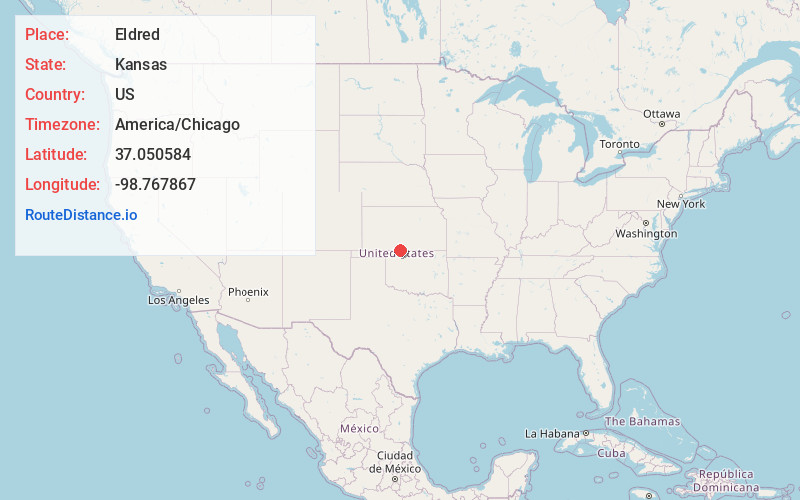
Full AddressEldred, Elwood Township, KS 67104
-
Coordinates37.0505835, -98.7678671
-
LocationElwood Township , Kansas , US
-
TimezoneAmerica/Chicago
-
Current Local Time10:49:55 PM America/ChicagoThursday, June 19, 2025
-
Page Views0
About Eldred
Eldred is an unincorporated community in Elwood Township, Barber County, Kansas, United States. It is 7 miles northwest of Hardtner.
Nearby Places
Found 10 places within 50 miles

Hardtner
7.0 mi
11.3 km
Hardtner, KS 67057
Get directions

Capron
14.9 mi
24.0 km
Capron, OK 73717
Get directions

Kiowa
15.8 mi
25.4 km
Kiowa, KS 67070
Get directions
Brink
16.8 mi
27.0 km
Brink, OK 73717
Get directions
Driftwood Creek
17.5 mi
28.2 km
Driftwood Creek, Oklahoma
Get directions

Alva
17.9 mi
28.8 km
Alva, OK 73717
Get directions
Forest City
18.9 mi
30.4 km
Forest City, Mingona Township, KS 67104
Get directions

Medicine Lodge
19.0 mi
30.6 km
Medicine Lodge, KS 67104
Get directions
Pixley
19.7 mi
31.7 km
Pixley, Medicine Lodge Township, KS 67104
Get directions
Hazelton
20.6 mi
33.2 km
Hazelton, KS 67061
Get directions
Location Links
Local Weather
Weather Information
Coming soon!
Location Map
Static map view of Eldred, Kansas
Browse Places by Distance
Places within specific distances from Eldred
Short Distances
Long Distances
Click any distance to see all places within that range from Eldred. Distances shown in miles (1 mile ≈ 1.61 kilometers).