Distance to Eli, Oklahoma

Calculating Your Route
Just a moment while we process your request...
Location Information
-
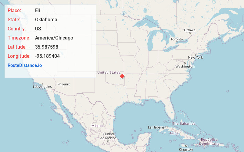
Full AddressEli, OK 74441
-
Coordinates35.9875977, -95.1894042
-
LocationOklahoma , US
-
TimezoneAmerica/Chicago
-
Current Local Time12:40:39 PM America/ChicagoWednesday, June 18, 2025
-
Page Views0
Nearby Places
Found 10 places within 50 miles

Lost City
3.0 mi
4.8 km
Lost City, OK 74441
Get directions

Hulbert
4.7 mi
7.6 km
Hulbert, OK 74441
Get directions

Yonkers
6.0 mi
9.7 km
Yonkers, OK 74352
Get directions
Shady Grove
6.1 mi
9.8 km
Shady Grove, OK
Get directions
Toppers
6.8 mi
10.9 km
Toppers, OK 74467
Get directions

Peggs
8.2 mi
13.2 km
Peggs, OK
Get directions
Gideon
8.9 mi
14.3 km
Gideon, OK
Get directions

Cedar Crest
9.3 mi
15.0 km
Cedar Crest, OK 74352
Get directions
Mallard Bay
10.0 mi
16.1 km
Mallard Bay, OK 74467
Get directions
Leliaetta
10.2 mi
16.4 km
Leliaetta, OK 74467
Get directions
Location Links
Local Weather
Weather Information
Coming soon!
Location Map
Static map view of Eli, Oklahoma
Browse Places by Distance
Places within specific distances from Eli
Short Distances
Long Distances
Click any distance to see all places within that range from Eli. Distances shown in miles (1 mile ≈ 1.61 kilometers).